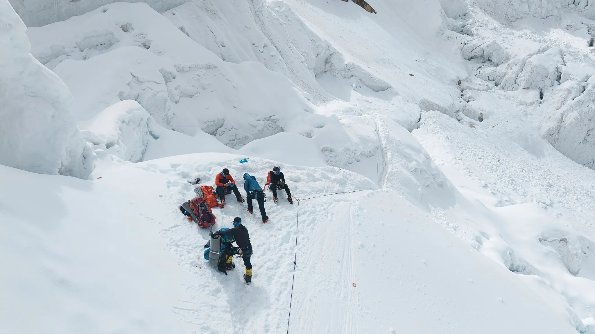
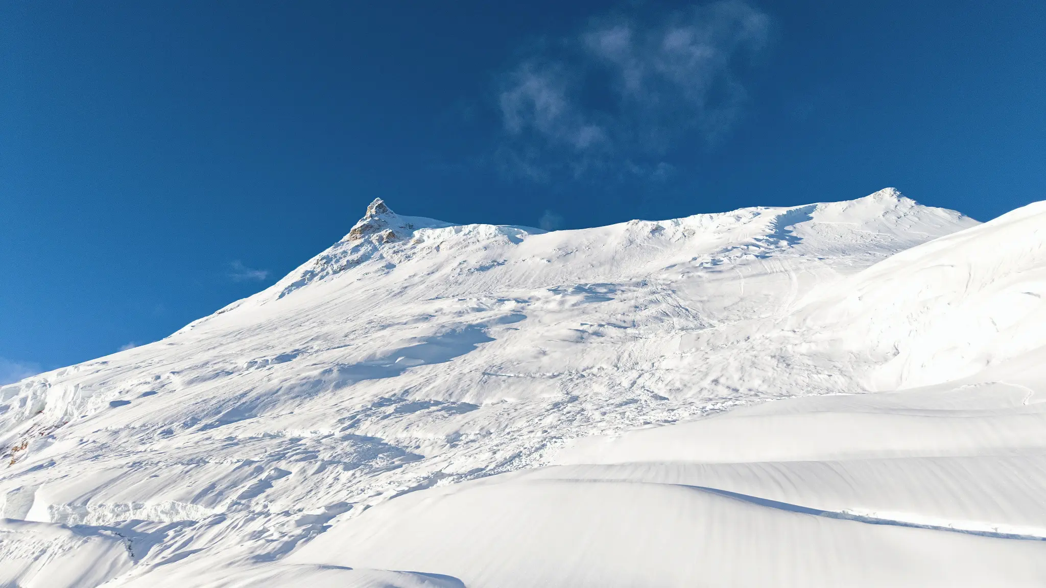
THREE PEAKS COMBO EXPEDITION
Home / THREE PEAKS COMBO EXPEDITION
very_hard

THREE PEAKS COMBO EXPEDITION

duration icon
Duration
33 Days
altitude icon
Max Altitude
6,812m
group icon
Group Size
Max 1 - 2

Trip Summary

Kyajo Ri — 6,186m  |  Peak One

Kyajo Ri stands at 6,186 metres above Thame village on the northwest edge of the Khumbu — one of the least-climbed peaks relative to its elevation and quality in the entire region. The three-camp route rises through Base Camp at 4,550m, Camp 1 at 5,200m, and Camp 2 at 5,700m before the technical upper ridge delivers a summit with exceptional views of Cho Oyu, Everest, Lhotse, and directly ahead is the profile of Ama Dablam, the next objective on the horizon.


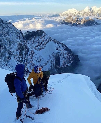
In this expedition, the Kyajo Ri phase serves a dual purpose: it is both a genuine technical summit and a structured preparation stage. The IFMGA guide uses the terrain above Camp 1 — steep mixed ground, exposed ridge sections, and the committing upper approach to consolidate each team member's technical skills and altitude management before the higher demands of Ama Dablam begin. Nothing about Kyajo Ri is easy, but it is the right foundation.


Ama Dablam — 6,812m  |  Peak Two

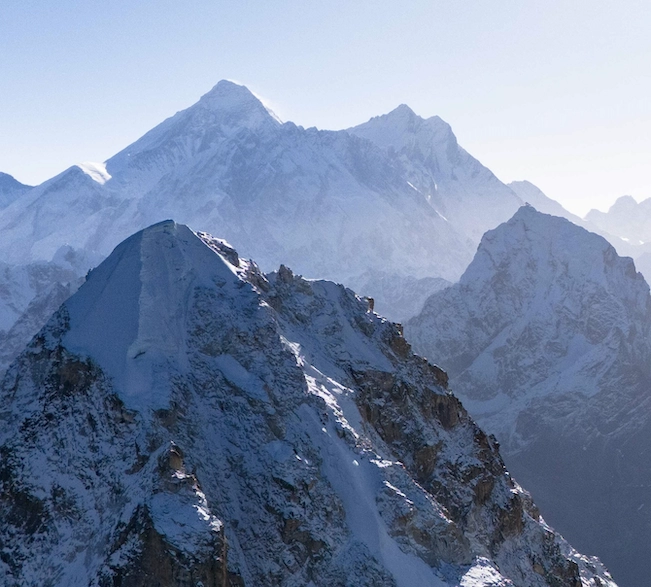
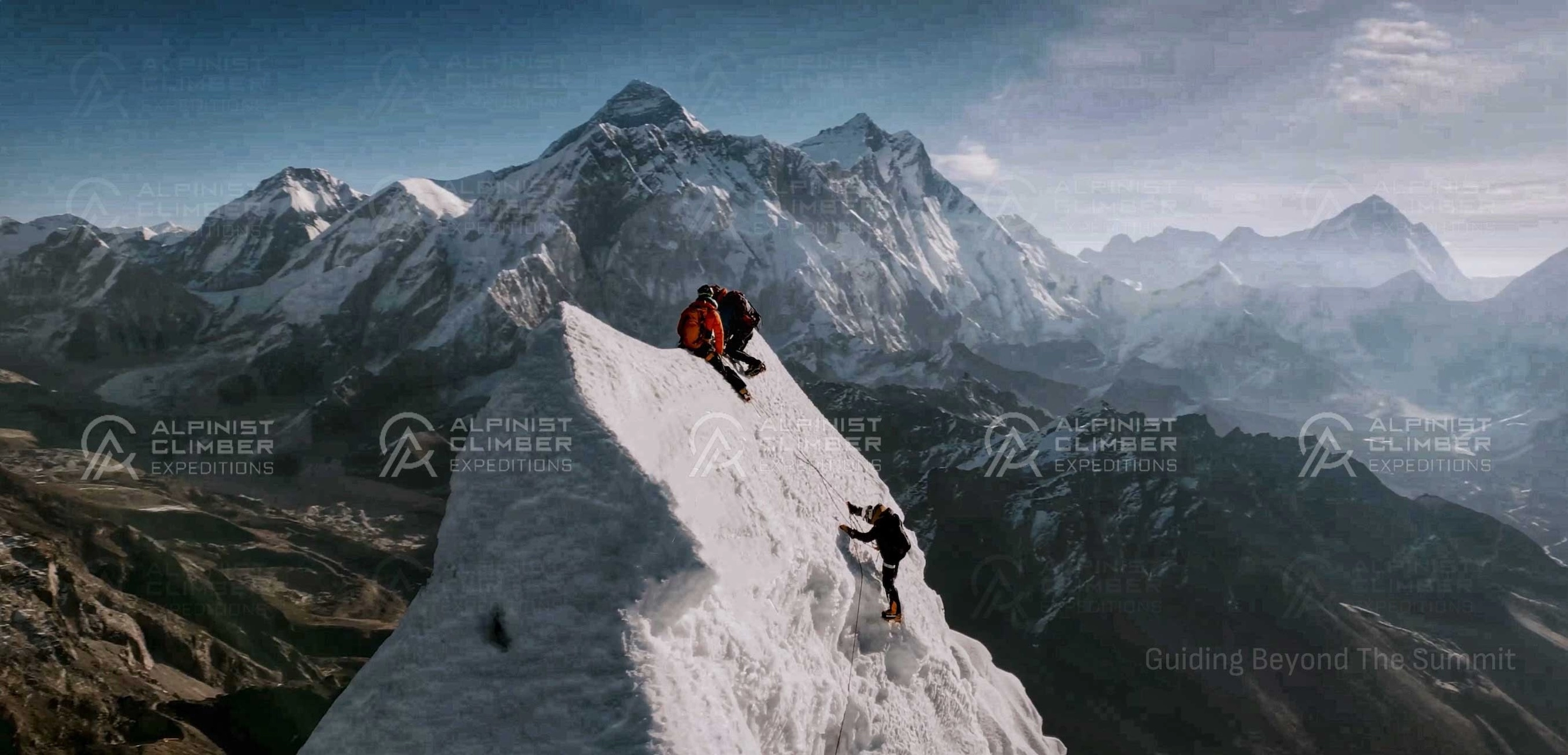
Ama Dablam is the defining peak of the Khumbu skyline and one of the most technically demanding mountains under 7,000 metres in Nepal. Its southwest ridge rises through Camp 1 at approximately 5,800m, Camp 2 at 6,100m, and Camp 3 at 6,400m — each move upward on steeper and more exposed terrain. The dablam — the massive overhanging serac that gives the mountain its name — is passed on the approach to Camp 3. The final ridge to the summit at 6,812m is narrow, committing, and commands the finest view in the Khumbu.


Ama Dablam is the summit that defines this expedition. It is the highest point reached in the 33 days, the most technically demanding route, and the one that rewards the two weeks of accumulated altitude and technical experience the most completely. Reaching its summit at roughly the midpoint of the expedition — fully acclimatized from Kyajo Ri, with Cholatse still ahead — is one of the most satisfying positions available in Himalayan climbing.


Cholatse — 6,440m  |  Peak Three

Cholatse sits at 6,440 metres above the Cho La pass on the boundary between the Khumbu and Gokyo valleys — a peak with sustained technical demands on its upper ice and mixed terrain and a summit that relatively few expeditions reach each season. The route from Base Camp at 4,700m ascends through Camp 1 at 5,600m and Camp 2 at 5,840m before the upper mountain presents its most committing sections. The Ngozumba Glacier stretches below the summit, Cho Oyu fills the northwestern horizon, and Everest, Lhotse, and Makalu extend to the north and east.


Cholatse is the appropriate final peak in this progression. By the time the team arrives at its Base Camp, they have spent three weeks above 4,500m, summited two serious technical peaks, and are operating with an altitude competence and expedition rhythm that the upper mountain's demanding terrain rewards directly. It is a hard finish to an extremely hard programme and that is precisely why it belongs at the end.

Trip Overview

Duration
Duration
33 Days
Including travel days
Max altitude
Max Altitude
6,812m
Summit of THREE PEAKS COMBO EXPEDITION
Difficulty
Best Season
Spring & Autumn
Ideal climbing window
Group size
Group Size
Max 1 - 2
Small team support
Region
Region
Khumbu Region
Expedition location
Overview
Overview
Expedition
High-altitude guided climb
Trip overview background

Trip Description

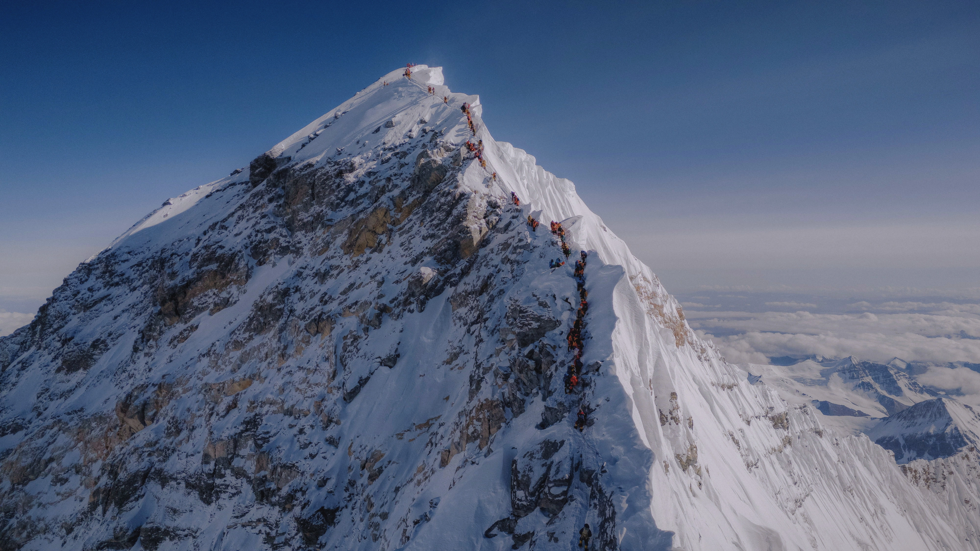
The Three Peaks Combo Expedition brings together three of the Khumbu's most demanding technical summits in a single 33-day programme. Kyajo Ri (6,186m), Ama Dablam (6,812m), and Cholatse (6,440m) — each one a serious alpine objective in its own right — are sequenced in a deliberate progression designed to bring a well-prepared team to all three summits within the same expedition window. It is the most ambitious multi-peak package available in the Khumbu, and it is built for climbers who understand exactly what that means.


The expedition opens with Kyajo Ri above Thame — the starting point for a specific reason. Of the three peaks, Kyajo Ri's three-camp technical route provides the most structured environment for consolidating skills and initiating altitude adaptation above 6,000m. The team's IFMGA guide uses this phase to build and assess the technical competence of every member on the mixed terrain of Kyajo Ri's upper ridge — information that directly shapes how the subsequent phases are managed. By the time the summit at 6,186m is reached, the team has functioned as a technical rope team on serious alpine ground and is physically and mentally prepared for what comes next.


Ama Dablam is the centrepiece. At 6,812m, with a southwest ridge that demands sustained technical climbing through three high camps, it is the most committing objective of the three. The approach from Sanasa through Pangboche delivers the Khumbu's most iconic mountain view in full — Ama Dablam's profile rising sharply above the valley. The climb itself asks for everything the Kyajo Ri phase has developed and more: confident movement on mixed rock and ice, route-finding above 6,000m, and the specific discipline required to push to a summit at 6,812m after already spending two weeks at altitude.


Cholatse closes the programme. After Ama Dablam, the team crosses the Cho La into the Gokyo Valley approach to Cholatse Base Camp — a peak with a justified reputation for sustained technical difficulty on its upper ice and mixed terrain. At this stage of the expedition the team is fully acclimatized, technically experienced, and physically conditioned. Cholatse's committing upper route is exactly the kind of terrain that rewards that preparation. The heli flight from Cholatse Base Camp to Kathmandu on the return is a well-earned and efficient conclusion to one of the most serious expedition packages available in Nepal.


This programme is designed for pure alpinists whose expedition schedule does not allow the extended timeline of three separate trips. Three peaks. Three technical summits. One 33-day expedition.


Expedition Highlights

  • Three technical summits in 33 days — Kyajo Ri (6,186m), Ama Dablam (6,812m), and Cholatse (6,440m)

  • A deliberately sequenced progression: Kyajo Ri builds skills → Ama Dablam is the centrepiece → Cholatse closes the programme on a fully acclimatized team

  • Ama Dablam — one of the most technically demanding and visually iconic peaks in the Himalaya, reached mid-expedition with full altitude conditioning

  • Cholatse — a serious and rarely crowded 6,440m summit above the Gokyo Valley, approached fully prepared

  • Helicopter transfer Kathmandu–Namche on arrival and Cholatse Base Camp–Kathmandu on departure — efficient logistics for a demanding 33-day schedule

  • 5-star hotel in Kathmandu — a premium base before and after the expedition

  • Government liaison officer included — required for the Ama Dablam phase

  • IFMGA-certified lead guide and 1:1 Climbing Sherpa support on all three summit days

  • Option for a fully private 1:1 expedition with IFMGA Guide Mr. Prakash Sherpa


Led by IFMGA-Certified Professionals

Three technical summits in 33 days is not a programme that operates safely with anything less than the highest guiding standard available. Each peak presents distinct terrain challenges; the cumulative physical and psychological demands of three consecutive alpine objectives require a guide team that manages fatigue, weather, and technical risk across the full programme — not just on each summit day.


Every Three Peaks Combo Expedition is led by an IFMGA / UIAGM / IVBV-certified mountain guide — the highest internationally recognized certification in professional mountain guiding. Our guides hold additional qualifications in Advanced Mountaineering, Wilderness First Aid, Helicopter Rescue and Marshalling, Rock Climbing Level One, and High-Altitude Rescue. These are not supplementary credentials, they are applied capabilities used throughout an expedition of this duration and complexity.


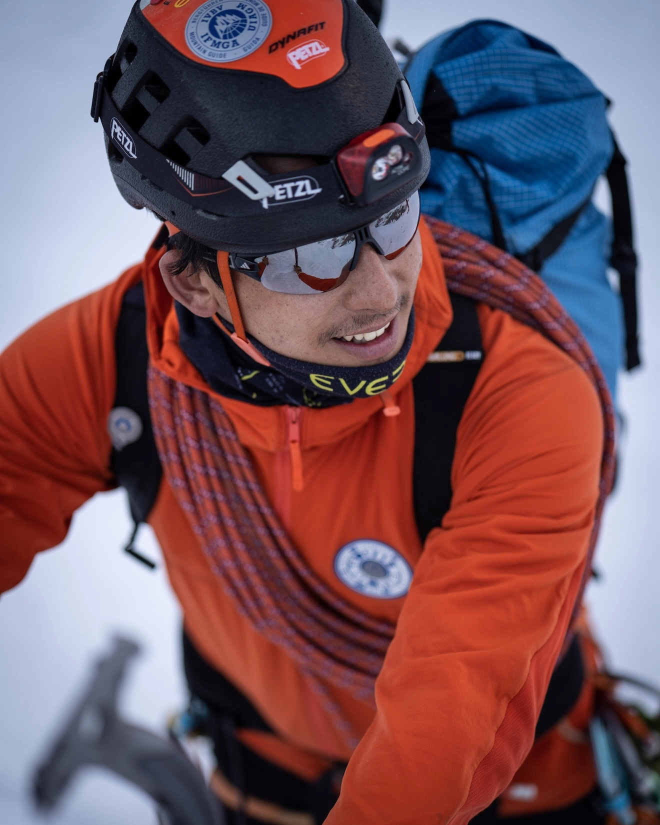
Mr. Prakash Sherpa, CEO and Lead IFMGA Mountain Guide of Alpinist Climber Expeditions, has personally summited Ama Dablam alongside Everest, Lhotse, Makalu, Cho Oyu, Dhaulagiri, Manaslu, Nuptse, and Pumori — several without supplemental oxygen. He has been guiding at high altitude since the age of 15 and carries over 15 years of professional experience on terrain of exactly this standard. He is a member of the Nepal National Mountain Guide Association (NNMGA). For those selecting the premium 1:1 private option, Mr. Prakash Sherpa leads the full 33-day expedition personally across all three peaks.

Detailed Itinerary

A representative from Alpinist Climber Expeditions meets you at Tribhuvan International Airport and transfers you to your 5-star hotel. The evening opens with a welcome dinner — the team gathers for the first time, and the guide introduces the full 33-day programme, the sequence of three peaks, and the logistics that underpin the expedition.

Hotel
Location icon 1,330m

A comprehensive briefing covers all three peaks in sequence — route structures, camp systems, technical approach, safety protocols, permit logistics, and the helicopter arrangements for both the arrival and departure. The government liaison officer required for the Ama Dablam phase is introduced. Equipment is checked, confirmed, and packed. You receive your Alpinist Climber Expeditions jacket, duffel bag, T-shirt, and cap.

Hotel
Location icon 1,330m

A helicopter departs Kathmandu for Namche Bazaar — a 45-minute flight that eliminates the two-day Lukla approach and places the team directly in the heart of the Khumbu at 3,440m. The flight follows the Khumbu corridor, with Everest, Lhotse, Ama Dablam, and Kyajo Ri all appearing in sequence as Namche comes into view on the ridge below. A focused, efficient start to an expedition that makes full use of every day.


  Duration     Distance     Elevation  
45–60 min ~145 km (air) +2,110 m (1,330 m → 3,440 m)
Lodge
Location icon 3,440m

A structured acclimatization day following the altitude gain from the helicopter arrival. A morning hike to the Everest View Hotel ridge at 3,800m builds altitude exposure before sleeping lower. The views of Everest, Lhotse, Nuptse, Ama Dablam, and Kyajo Ri from this ridge serve as a panoramic introduction to the three summits ahead. The afternoon is for rest, equipment confirmation, and settling into the Khumbu before the Kyajo Ri approach begins the following morning.


  Duration     Distance     Elevation  
3–5 hrs (optional hike) 5–8 km +350–450 m (optional hike, return to Namche)
Lodge
Location icon 3,440m

The trail leaves Namche through Khumjung village — the home of the Sir Edmund Hillary School and one of the most traditional Sherpa settlements in the Khumbu — before climbing steeply above the Thame Valley to Kyajo Ri Base Camp at 4,550m. The summit ridge of Kyajo Ri is clearly visible above Base Camp, and the upper terrain between Camp 2 and the summit is apparent from this vantage. The first camp of the expedition is established.


  Duration     Distance     Elevation  
6–7 hrs ~13 km +1,110 m (3,440 m → 4,550 m)
Camp
Location icon 4,550m

The Puja ceremony is conducted at Kyajo Ri Base Camp — a traditional Sherpa blessing ritual attended by every member of the expedition team. All climbing equipment is blessed before use. The three-peak programme begins formally here, and the ceremony sets the tone for an expedition that will spend the next four weeks on serious technical terrain in one of the world's most demanding mountain environments.


  Duration     Distance     Elevation  
Full Day 2–3 km Minimal
Camp
Location icon 4,550m

The team ascends to Camp 1 at 5,200m and returns to Base Camp — a controlled altitude rotation that familiarizes the team with the lower section of the Kyajo Ri route and initiates physiological adaptation above Base Camp. The IFMGA guide uses this rotation to observe and refine each team member's technical movement, crampon technique, and rope handling in a live mountain environment before the summit rotation begins.


  Duration     Distance     Elevation  
6–8 hrs ~8 km +650 m (4,550 m → 5,200 m, return to Base Camp)
Camp
Location icon 5,200m

A rest day at Base Camp. The body consolidates altitude adaptation. Equipment is repacked precisely, the summit plan reviewed, and the latest weather forecast assessed. The guide issues the final Kyajo Ri briefing and confirms the plan for Camp 1 departure the following morning.


  Duration     Distance     Elevation  
Full Day - 0 m
Camp
Location icon 4,550m

The team moves from Base Camp to Camp 1 at 5,200m on familiar, well-read terrain. The route is climbed with greater efficiency than the acclimatization rotation — the body is better adapted, the terrain is known, and the focus is entirely on the two camps above. Tents are established, a hot meal prepared, and the team rests with Camp 2 the objective for the following morning.


  Duration     Distance     Elevation  
5–6 hrs ~4 km +650 m (4,550 m → 5,200 m)
Camp
Location icon 5,200m

Above Camp 1 the Kyajo Ri route reveals its full technical character. Fixed lines protect the steeper sections as the team gains the main ridge through steep snow and mixed ground. Camp 2 at 5,700m sits in a sheltered position on the upper ridge with the summit 486 metres above. The team rests carefully in preparation for the summit push.


  Duration     Distance     Elevation  
4–5 hrs ~3 km +500 m (5,200 m → 5,700 m)
Camp
Location icon 5,700m

A reserve day at Camp 2. Weather on the Kyajo Ri upper ridge determines whether the summit push is safe, and this buffer day protects that decision without compromising the overall 33-day programme. If conditions allow on Day 11, the team may summit and use Day 12 as descent.


  Duration     Distance     Elevation  
Full Day Varies Varies
Camp
Location icon 5,700m

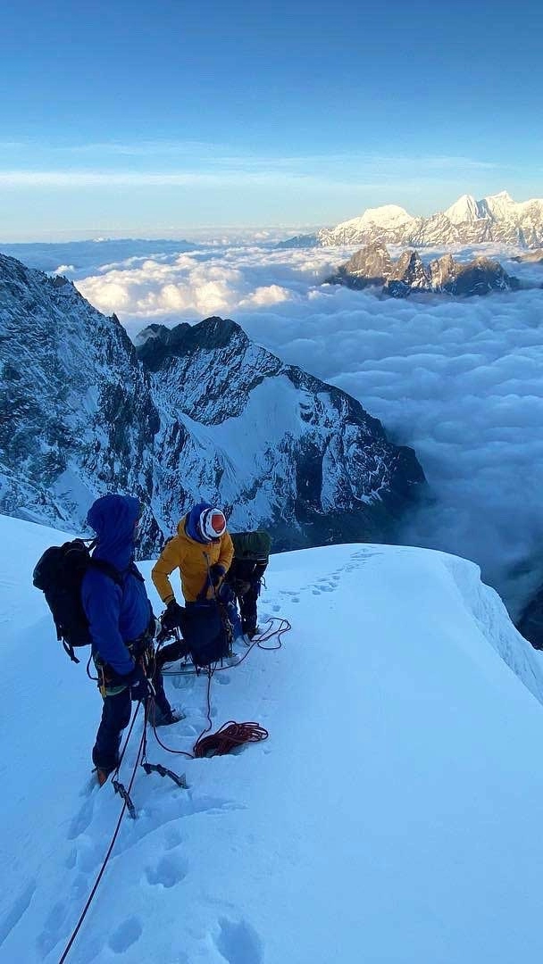
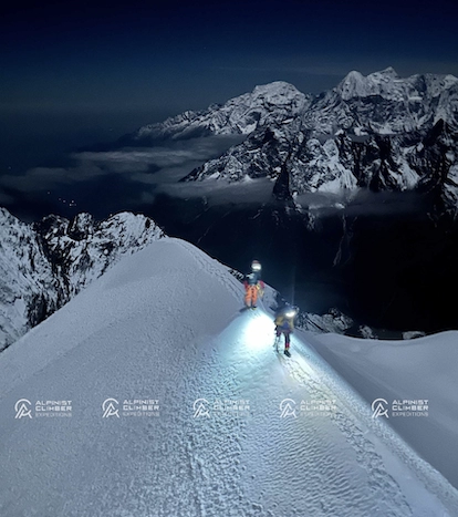
The summit push from Camp 2 begins in the early hours. The upper ridge — steep, mixed, and exposed — delivers the first 6,000m summit of the expedition at 6,186m. From the top, Cho Oyu, Everest, Lhotse, and Makalu extend across the horizon. To the southeast, Ama Dablam's sharp profile rises above the valley — the next objective, now viewed from the summit of the first. The team descends to Base Camp with a 1:1 Climbing Sherpa alongside each member throughout.


  Duration     Distance     Elevation  
10–14 hrs ~10 km +486 m (5,700 m → 6,186 m, then descend to 4,550 m)
Camp
Location icon 6,186m

From Kyajo Ri Base Camp the team begins the transition toward the Ama Dablam phase. The trail descends from the Thame Valley back through the upper Khumbu corridor to Sanasa — a junction settlement where the main Everest trail and the Gokyo route diverge. The altitude drop from above 5,000m to 3,600m is substantial and immediately welcome.


  Duration     Distance     Elevation  
5–6 hrs ~12 km −950 m (4,550 m → 3,600 m)
Camp
Location icon 3,600m

The trail continues east through the main Khumbu valley toward Pangboche — one of the oldest Sherpa villages in the region, with an ancient monastery that carries the cultural weight of centuries of high-altitude life. Ama Dablam grows significantly in the skyline as Pangboche is approached. The mountain's southwest ridge — the route of ascent — is visible in full from the trail below.


  Duration     Distance     Elevation  
5–6 hrs ~11 km +385 m (3,600 m → 3,985 m)
Lodge
Location icon 3,985m

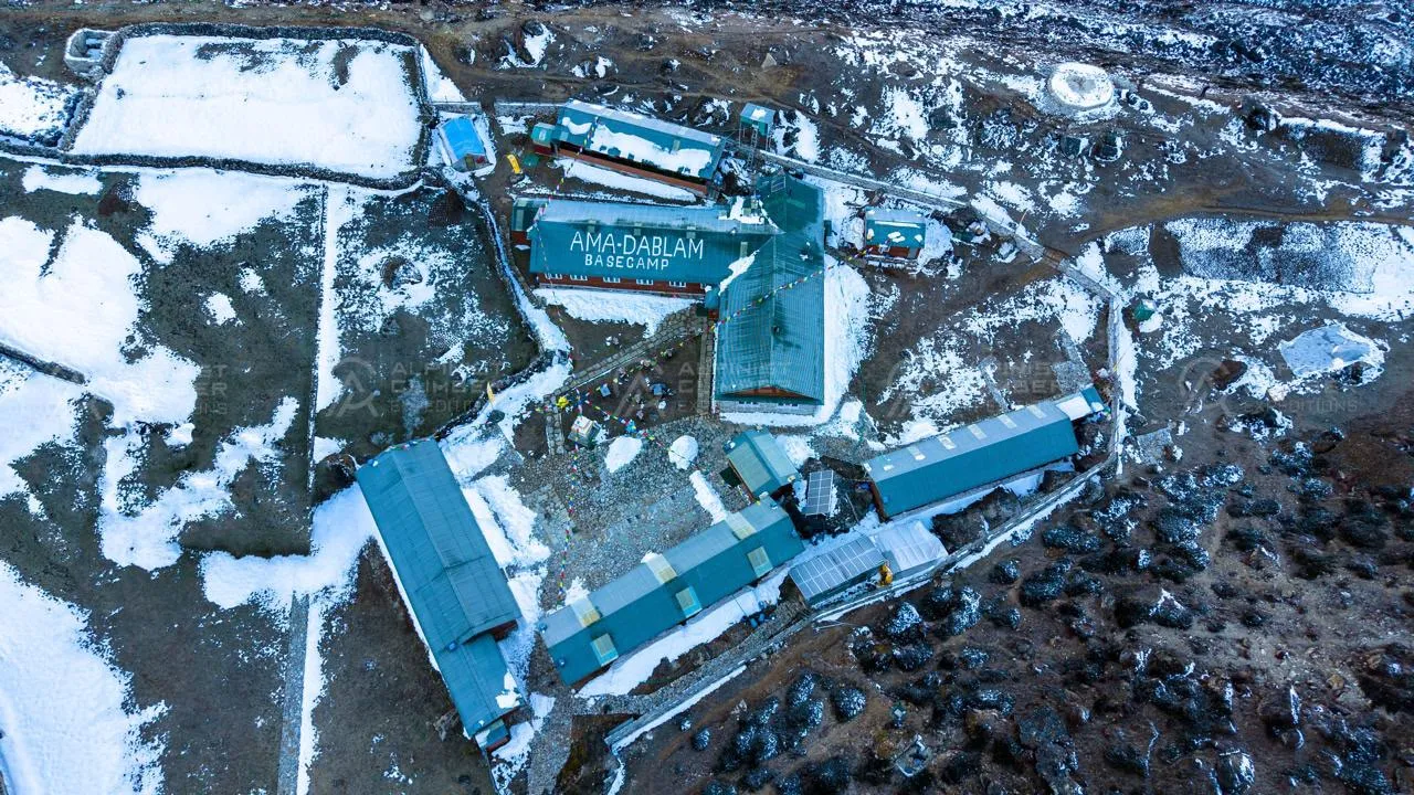
From Pangboche, the trail branches south toward the Ama Dablam glacier and Base Camp at 4,600m. The approach is direct — a climb through moraine and high pasture with the mountain growing in scale above with every step. Arriving at Ama Dablam Base Camp with Kyajo Ri already summited is a specific and focused moment. The team is acclimatized, technically experienced, and ready. The centrepiece of the expedition begins here.


  Duration     Distance     Elevation  
4–5 hrs ~7 km +615 m (3,985 m → 4,600 m)
Camp
Location icon 4,600m

The second Puja ceremony of the expedition is conducted at Ama Dablam Base Camp — a second blessing for the second and most demanding peak of the three. The Base Camp community at Ama Dablam in peak season includes teams from around the world, and the ceremony is conducted with the full attention and respect the mountain commands. The day's remainder is for rest and equipment organization before the acclimatization rotation begins.


  Duration     Distance     Elevation  
Full Day 2–3 km Minimal
Camp
Location icon 4,600m

A controlled acclimatization move to approximately 5,200m on the lower southwest ridge before returning to Base Camp. After Kyajo Ri's 6,186m summit, the team arrives at Ama Dablam Base Camp with a meaningful altitude advantage over fresh teams. This rotation confirms that advantage and familiarizes the team with the immediate character of Ama Dablam's approach terrain — considerably more technical from the first moves above Base Camp.


  Duration     Distance     Elevation  
6–7 hrs ~5 km +600 m (4,600 m → 5,200 m, return to Base Camp)
Camp
Location icon 5,200m

The southwest ridge proper begins here. The route to Camp 1 at 5,800m involves mixed rock, ice, and fixed rope on serious terrain from the outset — a profile that immediately distinguishes Ama Dablam from the glacier approaches of many Himalayan peaks. Camp 1 is a small, exposed ledge camp with dramatic views back to Pangboche and the valley below, and direct lines of sight to Camps 2 and 3 above.


  Duration     Distance     Elevation  
6–8 hrs ~4 km +1,200 m (4,600 m → 5,800 m)
Camp
Location icon 5,800m

Above Camp 1 the southwest ridge becomes more sustained and demanding — fixed rope on the steeper rock and mixed sections, careful movement required at every stage above 6,000m. The experience accumulated on Kyajo Ri's upper ridge pays direct dividends here. Camp 2 at 6,100m sits below the dablam — the massive overhanging serac feature that defines Ama Dablam's profile from the valley. The upper mountain and Camp 3 are now directly above.


  Duration     Distance     Elevation  
5–6 hrs ~2 km +300 m (5,800 m → 6,100 m)
Camp
Location icon 6,100m

The route to Camp 3 passes directly below the dablam — one of the most dramatic and committing sections on any sub-7,000m peak in Nepal. The terrain above Camp 2 demands sound climbing on mixed ground at significant exposure. Camp 3 at 6,400m is the final camp before the summit push. The team rests early and carefully, with the summit ridge directly above and an early pre-dawn departure confirmed.


  Duration     Distance     Elevation  
4–5 hrs ~2 km +300 m (6,100 m → 6,400 m)
Camp
Location icon 6,400m

A reserve day at Camp 3. The summit approach above this point is not ground that can be pushed safely in poor conditions. Weather data and route conditions are assessed by the expedition leader. If conditions allow on Day 21, the team may summit and use Day 22 as descent day.


  Duration     Distance     Elevation  
Full Day Varies Varies
Camp
Location icon 6,400m

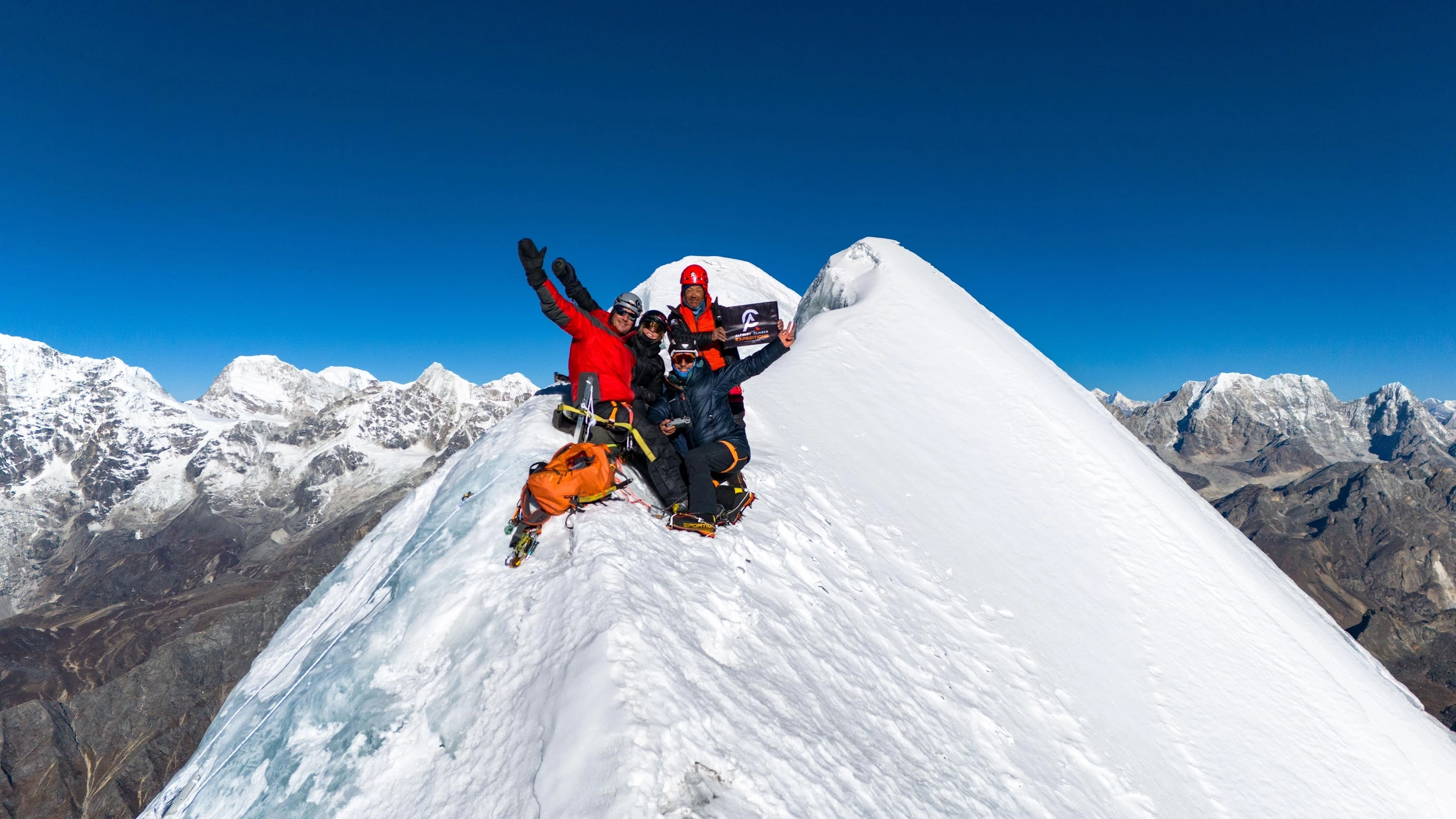
The summit day on the expedition's highest and most technically demanding peak begins well before dawn. The final ridge to the summit at 6,812m is narrow, exposed, and committing throughout — requiring confident climbing at the highest altitude of the 33-day programme, with a 1:1 Climbing Sherpa alongside every member. The summit of Ama Dablam delivers the finest view in the Khumbu: Everest and Lhotse to the north, Makalu to the east, Cho Oyu to the west, and the Khumbu valley spreading below in both directions. Two peaks summited. One to go.


The full descent from the summit to Base Camp is long and technical. The guide team manages the return with the same care as the ascent. Arriving at Base Camp with Ama Dablam behind you — and Cholatse still ahead — is a position that very few mountaineers ever occupy.


  Duration     Distance     Elevation  
12–16 hrs ~10 km +412 m (6,400 m → 6,812 m, then descend to 4,600 m)
Camp
Location icon 6,812m

The Cholatse phase begins with the departure from Ama Dablam Base Camp. The trail moves west through Pangboche to Pheriche — a transition from the Ama Dablam massif toward the western Khumbu corridor that leads to the Cho La and the Gokyo Valley. The lower altitude and movement help the body recover from the demands of the Ama Dablam climb.


  Duration     Distance     Elevation  
3–4 hrs ~8 km −229 m (4,600 m → 4,371 m)
Lodge
Location icon 4,371m

The trail climbs from Pheriche through Dughla — passing the memorial chortens at Thokla that mark the passing of climbers and Sherpas lost in these mountains — before continuing to Dzongla at the base of the Cho La. The terrain becomes drier and more exposed as the route moves into the high western Khumbu. Cholatse's profile is visible from Dzongla — its upper ridge and summit dome rising to the northwest.


  Duration     Distance     Elevation  
5–6 hrs ~11 km +459 m (4,371 m → 4,830 m)
Lodge
Location icon 4,830m

A serious trekking day crossing the Cho La at 5,420m — a high and sometimes icy pass that requires crampons on the steep sections. The pass connects the Khumbu and Gokyo valleys and is one of the most dramatic crossings in the region. In clear conditions the views from the col extend across both valleys, with Cholatse's west face visible to the north. The descent into the Gokyo side is steep before the trail reaches Thagnak.


  Duration     Distance     Elevation  
6–7 hrs ~10 km +590 m / −760 m (cross Cho La Pass, finish at 4,660m)
Lodge
Location icon 4,660m

The final approach to Cholatse Base Camp at 4,700m. The mountain's southwest face and upper ridge come fully into view on the approach — a clear and serious-looking objective for a team that has already spent 25 days at altitude on two technical summits. Base Camp is established and the final phase of the expedition begins.


  Duration     Distance     Elevation  
3–4 hrs ~6 km +40 m (4,660 m → 4,700 m)
Camp
Location icon 4,700m

A rest and preparation day at Cholatse Base Camp. The team recovers from the Cho La crossing, organizes climbing equipment for the final peak, and reviews the Cholatse route in detail with the lead guide. By this point in the expedition the team's altitude competence and technical experience are at their peak. Cholatse's upper terrain will test both fully.


  Duration     Distance     Elevation  
Full Day 2–3 km Minimal
Camp
Location icon 4,700m

The route above Base Camp enters serious terrain immediately — the glacier approach involves crevassed travel and steep snow before Camp 1 at 5,600m is reached. The altitude gain is significant and the terrain demanding. Camp 1 is a well-positioned camp with direct sightlines to Camp 2 and the upper mountain. The team rests in preparation for the committing moves ahead.


  Duration     Distance     Elevation  
5–7 hrs ~4 km +900 m (4,700 m → 5,600 m)
Camp
Location icon 5,600m

Above Camp 1 the terrain intensifies. Steep ice and mixed ground characterize the approach to Camp 2 at 5,840m — the final camp before the summit push on the expedition's closing peak. The upper Cholatse ridge is now directly above. The team rests as thoroughly as possible in preparation for the final summit day.


  Duration     Distance     Elevation  
4–5 hrs ~2 km +240 m (5,600 m → 5,840 m)
Camp
Location icon 5,840m

A reserve day at Camp 2, essential given Cholatse's exposed position and the variable weather in the Gokyo Valley corridor. This buffer protects the summit window without compromising the helicopter return on Day 32. All decisions are made by the expedition leader based on current weather and route conditions.


  Duration     Distance     Elevation  
Full Day Varies Varies
Camp
Location icon 5,840m

The third and final summit day of the expedition begins before dawn from Camp 2. The upper mountain presents sustained steep ice and mixed terrain — the most committing ground on Cholatse's route. A 1:1 Climbing Sherpa accompanies every member throughout. The summit at 6,440m looks directly across the Ngozumba Glacier toward Cho Oyu, with Everest, Lhotse, and Makalu on the eastern horizon and the Gokyo lakes shimmering far below. Three peaks. Three summits. The 33-day programme complete.


The team descends to Base Camp. Three technical alpine summits in 31 climbing days, in one of the world's great mountain ranges.


  Duration     Distance     Elevation  
12–15 hrs ~8 km +600 m (5,840 m → 6,440 m, then descend to 4,700 m)
Camp
Location icon 6,440m

A helicopter departs from Cholatse Base Camp for Kathmandu — an efficient and well-earned exit from the Gokyo Valley and one of the most fitting conclusions to an expedition of this scope. The flight over the Khumbu delivers a final aerial perspective on the three peaks climbed below. A farewell dinner in Kathmandu that evening is a genuine celebration of an extraordinary three-peak achievement.


  Duration     Distance     Elevation  
45–60 min ~155 km (air) −3,370 m (4,700 m → 1,330 m)
Hotel
Location icon 1,330m

Private airport transfer is arranged for your outbound flight. The Three Peaks Combo Expedition concludes — 33 days from the helicopter into Namche to three technical summits and a helicopter out from Cholatse. The most ambitious multi-peak programme in the Khumbu, completed.

Why ACE?

Alpinist Climber Expeditions was built around a principle that has guided every climb we have organized — that the quality of the experience on a mountain is directly tied to the quality and depth of experience of the people leading it. What sets Alpinist Climber Expeditions apart is something that cannot be manufactured or replicated — it comes from decades spent on these mountains, from the culture that formed us, and from a deeply held belief that every climb deserves to be done properly.


We are a team of professional Sherpas. Not guides who have visited the Himalaya — guides who grew up here, who know these peaks in every season, and who have spent careers developing the technical skills and mountain judgment required to lead expeditions safely and successfully.


Our team holds IFMGA / UIAGM certification — the highest international standard in professional mountain guiding — alongside Advanced Mountaineering, Wilderness First Aid, Helicopter Rescue, and High-Altitude Rescue qualifications. Our lead guide has summited multiple 8,000-metre peaks, including ascents without supplemental oxygen. This is not a credential on paper. It is a lived capability that directly protects every climber who climbs with us.


We offer two expedition structures: a standard option with small-group expedition, and a premium option with 1:1 guide-to-client ratio. Both are built on the same standard of safety, preparation, and professionalism.The standard option maintains a minimum 1:3 guide-to-client ratio with a dedicated IFMGA lead guide and Sherpa support on every climb. Our premium 1:1 private option places you on the mountain directly alongside IFMGA Guide Mr. Prakash Sherpa.


We do not run high-volume operations as our clients are not bookings. They are climbers who have chosen to trust us with something significant and we take that trust seriously on every single expedition. We do not cut corners on acclimatization, staffing ratios, or safety equipment. We organize expeditions the way they should be organized — with patience, precision, and the kind of local knowledge that only comes from growing up in these mountains and spending a career on them.


The Team

Expedition Guides

Every guide on our team has been selected for their technical ability, high-altitude experience, and personal commitment to the safety and success of every climber they lead. All guides carry extensive experience at altitude and hold a proven record of safety, summit success, and strong compatibility with international clients.

The number of guides assigned to each expedition is determined by the size of the climbing team. Our standard guide-to-member ratio is 1:3, ensuring that every climber receives consistent, attentive support throughout the approach, the acclimatization phase, and the technical climb itself.


Climbing Sherpa Support

A dedicated team of experienced Climbing Sherpas supports every expedition with load carrying on the mountain, route preparation, and high camp management. On summit day, we maintain a 1:1 Sherpa-to-climber ratio — a commitment that reflects our belief that the summit push is where support matters most.

Our Climbing Sherpas are not simply load carriers. They are experienced high-altitude professionals who understand the mountain, the route, and the demands of summit day. Their presence alongside every climber on the final push is a core part of how we manage safety and success on the upper mountain.


What to Expect from Our Team

  • Technically qualified, IFMGA-certified lead guidance on every expedition
  • A standard guide-to-member ratio of 1:3 — adjusted based on team size and peak requirements
  • 1:1 Climbing Sherpa support on summit day for every team member
  • Guides who are experienced, companionable, and genuinely invested in your success
  • Full medical kit, satellite communication, and emergency response capability carried by the team at all times
  • A premium 1:1 private option available — summit alongside Mr. Prakash Sherpa directly


Trip Notes

Quick facts: Kyajo Ri: 6,186m | Ama Dablam: 6,812m | Cholatse: 6,440m | Khumbu region | Total expedition: approx. 45–55 days | Best season: autumn (Sep–Nov) | Combined grade: technical to very technical — for experienced high-altitude alpinists only


Why This Combination?


This three-peak combination is ACE's most ambitious Khumbu package, linking three of the region's finest and most technically demanding summits into a single extended expedition. Each peak brings something distinct to the table: Kyajo Ri is the mixed-ground acclimatisation peak and the adventurous curtain-raiser; Ama Dablam is the sustained technical centrepiece — a world-class climbing objective in its own right; and Cholatse is the bold, committing finale on one of the Khumbu's sharpest ridges. Together they form a complete Himalayan climbing experience that few expeditions anywhere in the world can match.


Overview


The standard sequence moves from Kyajo Ri (Gokyo Valley approach) through to Ama Dablam (Southwest Ridge from Mingma base camp) and finally to Cholatse (via the Cho La or a direct approach from the Khumbu side). This order reflects both acclimatisation logic — each summit sits higher or demands more than the last — and geographical sense, linking the three peaks across the natural terrain flow of the Khumbu. Teams spend nearly two months living at altitude, and the expedition demands strong pre-trip fitness, established high-altitude experience, and a clear head for technical decision-making in demanding conditions.


Route & Character


Each peak is described fully in its standalone entry, but together the route delivers: mixed snow and rock up to 60° on Kyajo Ri's Southwest Ridge; continuous fixed-rope rock, ice, and mixed terrain from base to summit on Ama Dablam's Southwest Ridge including the Yellow Tower and the serac-threatened Camp 3; and the exposed, sustained technical ice-and-rock ridge of Cholatse's Southeast Ridge. Climbers will experience glacier travel, jumar technique, mixed pitching, crampon work on steep ice, and true alpine exposure across three genuinely challenging summits.


Key Risks & Why They Matter


Extreme cumulative altitude exposure: Spending 45–55 days at altitude, with multiple nights above 6,000m across three peaks, places sustained physiological demand on the body in a way that individual expeditions do not. Energy levels, immune function, and cognitive sharpness all decline gradually over weeks at altitude — the rest days between peaks are not optional, and guides are empowered to enforce them even when climbers feel ready to push on.

No easy summit in this combination: All three peaks are technically serious, and none of them serves as a 'rest' objective — this is a fundamental difference from combo packages that pair a moderate peak with a harder one. Climbers must arrive with demonstrated competence on technical mixed terrain and a track record of performing well at altitude under fatigue, not just peak fitness in good conditions.

Serac hazard on Ama Dablam: The hanging glacier above Camp 3 on Ama Dablam is the single most serious objective hazard across all three peaks, with past collapses having caused fatalities on the mountain. Guide teams monitor this closely, adjust camp siting, and time movement through the area carefully — but it is a risk that cannot be reduced to zero.

Exposure on Cholatse as a final peak: By the time climbers reach Cholatse — ACE's most technically demanding 6,000m offering — they will have spent over a month at altitude and completed two serious technical summits. Cholatse's exposed, narrow ridge and sustained steep terrain demand peak technical judgement at the point when physical and mental reserves are at their lowest in the expedition, which is why summit-day decisions here are particularly carefully managed.

Logistics complexity across three peaks: Managing permits, equipment caches, food and fuel logistics, guide assignments, and weather windows for three separate peaks in a single expedition is considerably more complex than a standard package — any delay on one peak ripples through the schedule for the others. ACE plans contingency days into the itinerary specifically to absorb these disruptions, but a poor weather month can still compress what is possible.

Medical and evacuation risk in remote terrain: With over six weeks at altitude and movement through multiple remote valleys, the statistical likelihood of illness, injury, or altitude-related emergency increases over an expedition of this length. Comprehensive travel insurance with unlimited high-altitude helicopter evacuation is non-negotiable for this package, and all team members are required to carry it.


Note: All ACE expeditions are subject to the unpredictable conditions of the Himalaya. Weather at altitude can change within hours, and your safety always takes priority over the fixed schedule — if trails become unsafe, snow conditions deteriorate, or flights to remote airstrips are delayed by poor visibility or wind, we will adjust the itinerary, reroute, or arrange alternative transport as needed. These changes are made solely to protect you, and our guides will ensure the spirit and quality of your expedition is never compromised. ACE is not liable for costs arising from missed international flights due to such delays, so we strongly recommend comprehensive travel insurance covering trip interruption, flight disruption, and emergency evacuation before you travel.
Equipment List

The Three Peaks Combo Expedition demands 33 days of sustained performance across three distinct technical environments — from the mixed terrain of Kyajo Ri to the steep southwest ridge of Ama Dablam to the ice and mixed upper mountain of Cholatse. Every item on this list should be field-tested before departure. Footwear must be fully broken in. Equipment that underperforms above 6,000m on peak two or three is not replaceable in the field.


Headwear

  • Sun hat or lightweight cap

  • Warm fleece or wool hat

  • Balaclava or thin face mask

  • UV-protective sunglasses — category 4 strongly recommended

  • Ski goggles with UV protection and anti-fog system — essential on all three summit ridges


Handwear

  • Thin liner gloves

  • Fleece or wool mid-layer gloves

  • Gore-Tex or waterproof insulated outer gloves

  • Down mittens — recommended for all three summit pushes


Clothing

  • Expedition-quality down jacket with hood

  • Waterproof Gore-Tex jacket

  • Waterproof Gore-Tex over-trousers

  • Fleece jacket or softshell mid-layer

  • Fleece or insulated trousers

  • Thermal base layer — top and bottom

  • Moisture-wicking base layer tops (2–3)

  • Light hiking trousers for the trek phases


Footwear

  • High-altitude mountaineering boots — required for all three peaks

  • Trekking boots for approach and transition stages

  • Camp shoes or light slippers

  • Warm mountaineering socks (5–6 pairs)

  • Snow gaiters


Technical Climbing Equipment

  • UIAA-approved climbing helmet

  • Sit harness

  • Ascender (jumar)

  • Descending device (ATC guide or similar)

  • Locking carabiners (4 minimum)

  • Non-locking carabiners (2)

  • Ice axe — classic alpine type

  • Crampons compatible with mountaineering boots

  • Trekking poles


Sleeping Equipment

  • Sleeping bag rated to -20°C

  • Sleeping mat or Thermarest

  • Sleeping bag liner — recommended for 33 nights


Trekking & Camp Essentials

  • 45-litre rucksack with rain cover

  • Large duffel bag with padlock

  • Headlamp with spare batteries

  • 1-litre water bottles (x2) and 1-litre thermos

  • Personal first aid kit

  • Personal snacks and energy bars


Hygiene & Sun Protection

  • Waterproof wash bag and medium towel

  • Toiletries — soap, toothbrush, toothpaste

  • Sunscreen SPF 50+ and lip balm with UV protection

  • Hand sanitizer, wet wipes, and toilet paper

Includes background

Includes & Excludes

Included
  • Kyajo Ri, Ama Dablam, and Cholatse climbing royalty and expedition permit fees
  • Sagarmatha National Park entry permit
  • Pasang Lhamu Municipality entry fees
  • Government liaison officer — wages, insurance, and transportation (required for Ama Dablam)
  • Garbage disposal and environmental management fees
  • All government taxes, VAT, and official tourism service charges
  • IFMGA-certified lead mountain guide — full wages and comprehensive insurance
  • Experienced Climbing Sherpa support — wages, summit bonuses for all three peaks, equipment, and full insurance
  • Base Camp kitchen crew — wages, insurance, and equipment allowance
  • Porters and yaks to carry trekking and expedition gear
  • All staff accommodation, wages, equipment, insurance, and medical provisions
  • 5-star hotel accommodation in Kathmandu with daily breakfast (3 nights)
  • Full-board lodge and camp accommodation throughout the expedition
  • Single tent per member at all three base camps
  • Dining tent with heater, shower tent, and toilet tent at all three base camps
  • High camp tents and EPI gas at all overnight camping stages on all three peaks
  • Helicopter transfer: Kathmandu to Namche Bazaar on arrival (Day 03)
  • Helicopter transfer: Cholatse Base Camp to Kathmandu on return (Day 32)
  • Welcome dinner on Day 01 in Kathmandu
  • Farewell dinner on Day 32 in Kathmandu
  • Daily breakfast at 5-star hotel in Kathmandu
  • Full-board meals including fresh fruit throughout the expedition
  • High-altitude food and snacks for members and guides at all high camps on all three peaks
  • Group climbing equipment — ropes, ice screws, and technical gear
  • Medical kit carried throughout the full 33-day expedition
  • Satellite phone for emergency communication
  • Walkie-talkie radios for team coordination on all three peaks
  • Alpinist Climber Expeditions branded jacket, duffel bag, T-shirt, and cap per member
Not Included
  • × International airfare (to and from Kathmandu)
  • × Nepal entry visa fees
  • × Lunches and dinners in Kathmandu — meals outside of included welcome and farewell dinners and daily breakfasts
  • × Alcoholic beverages and personal drinks
  • × Internet and WiFi access
  • × Personal clothing and climbing equipment
  • × Personal first aid kit
  • × Special drone permit fees
  • × Personal travel, medical, and emergency rescue insurance
  • × Gratuities for guides, Climbing Sherpa, and all staff
  • ×  

1:1 Experience with Your Lead Guide

Lead Guide

Prakash Sherpa

Founder & IFMGA Mountain Guide

Our lead guide Prakash Sherpa oversees expedition strategy, pacing, and on-mountain decision-making so your climb is supported from preparation through summit push.

You get direct access to experienced guidance, real-time judgement in changing conditions, and a more focused expedition experience built around safety, clarity, and strong leadership.

Certification
IFMGA / UIAGM / IVBV

Package Options

Standard

An expertly guided group expedition offering an affordable, memorable way to attempt stunning peaks alongside fellow adventurers.

Starting From
€ 14,500
per person
  • → Group Expedition
  • → 1:1 Climbing Sherpa Guide
  • → Well-Planned Itinerary
  • → Fixed Group Schedule
  • → Minimum 3 Participants
  • → Professionally Guided
  • → Excellent Value
  • → Best for Budget-conscious Adventurers
Book Standard
Premium

A fully personalized, private expedition with 1:1 IFMGA guiding — designed around your goals, pace, and schedule for an exclusive mountain experience.

Starting From
€ 19,500
per person
  • → Private Expedition
  • → 1:1 Private IFMGA Mountain Guide
  • → Fully Tailored Itinerary
  • → Flexible Scheduling
  • → Premium Value
  • → Heli flight IN / OUT
  • → Premium, Personalized Experience
  • → Best for Adventurers Seeking a Personalized, Exclusive Experience
Book Premium
Summit
Elevation
N
ACE
Guiding Beyond The Summit
Client Stories

From the Summit

Daniel Puttkemery
Daniel Puttkemery
Kyajo Ri Expedition
5/5 Rating

Prakash and his team are a couple of notches above totally professional! Everyone in the Alpinist Climber Expeditions family goes out of their way to provide the best possible experience. Superb core values and safety principles. I had the good fortune of climbing Kyajo Ri with Alpinist Climber Expeditions and I can not say enough positive things. All gear is first rate, exceptional food and beautiful base camp in particular. I have climbed with a few different outfits in the past, now I need look no further, whenever I’m in the Himalaya. I will only climb with Alpinist Climber Expeditions. It sounds cliche but they very much made me feel like family. Top marks to a top outfit!

Verified Client Story
Luca Smargiasso
Luca Smargiasso
Ama Dablam 6,812m
5/5 Rating

I have been climbing for 15 years, over 4 continents. This was my 3rd trip to Nepal. And this was undoubtedly one of the Best-organised expeditions have participated in. Cannot thank Prakash and his Team enough. The attention to detail both in terms of equipment, climbing conditions, and accommodation/food was outstanding. And despite having limited exposure to high altitude alpine style climbing, always felt comfortable in the climbs and approach. I put this down to Prakash and his experience as well as the unique approach to team size. The small team ensures that a more flexible and sensible approach is applied to all technical aspects of the climb-including importantly how you physically feel and acclimatise. I needed to spend 5 days at Namche due to a sinus infection, and never felt that this jeopardised the rest of my climb. The same goes for weather delays. I eventually overran the climbing calendar by 5 days without a single complaint from Prakash and his team. You feel like a climbing partner rather than a paying client. My only regret is that Alpinist Climber Expeditions does not have a more international footprint as would have liked to climb with Prakash and his Team internationally as well as in Nepal.

Verified Client Story
Andy Tronsberg
Andy Tronsberg
Kyajo Ri & Island Peak
5/5 Rating
“Perfect organised and guided expedition I ever took part! We climbed island peak and kyajo ri alpine style! Safety is always first, all team members are super kind and professional and also laughing comes not to short! Thanks for this unforgettable experience!! Andreas.

Verified Client Story
Rogier Keulen
Rogier Keulen
Mt. Kyajo Ri & Mt. Cholatse
5/5 Rating
“With IFMGA guide Prakash we climbed Kyajo Ri and Cholatse. Our expedition couldn't have been any better! We had a lot of fun and summiting stunning Cholatse is the most intense thing I've done. We did it alpine style, so without fixed ropes from bottom to top. Safety was a priority - Prakash summited Everest 3 times and is always in control - and we had a very strong drive to reach the summit - which we did!”
Verified Client Story
Ludwig Beer
Ludwig Beer
Baruntse 7,162m + Mera Peak 6,476m
5/5 Rating
“Vielen Dank lieber Pemba für die tolle Zeit. Deine Professionalität und stete Fürsorge waren allgegenwärtig. Die gute Planung, der Ablauf und die gute Stimmung waren großartig. Mit Dir und Deinem Team fühlt man sich wohl am Berg. Dadurch ist der Erfolg gesichert!”
Verified Client Story
Christiaan Jong
Christiaan Jong
Mt. Kyajo Ri & Mt. Cholatse
5/5 Rating
“The Kyajo Ri and Cholatse climbing expedition I did with Alpinist Climber Expeditions was great! Our guide Prakash is a very strong and professional guide.
We share our values regarding alpine-style climbing and succeeded on both summits in a very safe manner.
Apart from the climbing, the whole team was super supportive, helpful, and friendly. Nothing was too much to ask.
For future expeditions or other endeavors in the mountains, I would definitely reach out to Alpinist Climber Expeditions again.”
Verified Client Story
Expedition Journal

Dispatches from the Mountains

All Articles
Chhuama IV First Ascent Report 2026
Expedition Report

Chhuama IV First Ascent Report 2026

  In July 2026, a team from Alpinist Climber Expeditions climbed Chhuama IV, a 6,179-metre peak in the Mustang region of Nepal that no one had ever summited before. On 16 July, IFMGA Mountain Guide and Dynafit athlete Prakash Sherpa reached the top at 3:21 PM Nepal time, after teammate Barnaby Francis turned back roughly 250 metres from the summit because of dangerous rockfall. Six earlier permit teams had tried and failed to climb Chhuama IV. This was the seventh attempt, and it succeeded — making it the first recorded ascent of the mountain. This is the story of that expedition: how the team got to the mountain, what the route was actually like, and what happened during the final push to the summit.   About Alpinist Climber Expeditions Alpinist Climber Expeditions is a Nepal-based expedition company that has been running alpine-style expeditions in the Himalayan ranges of Nepal since 2021. The Chhuama IV climb fits the kind of objective the company tends to take on: a lesser-known peak, a small team, and a route that hadn't been fully worked out by anyone before them. Alpine-style climbing generally means moving with a small team and minimal fixed infrastructure on the mountain, relying on judgment and route-finding rather than large-scale siege tactics — and that approach mattered on Chhuama IV, where conditions changed quickly and decisions had to be made on the spot.   The Peak and Why This Expedition  Was Different Chhuama IV sits in the Mustang region of Nepal and stands 6,179 metres high. Before this expedition, six other permit teams had attempted the mountain. None of them reached the top. That history says something about the peak — this wasn't a case of nobody having tried. Climbers had gone up before, assessed the conditions, and turned back. Alpinist Climber Expeditions' team was the seventh group to hold a permit for Chhuama IV. Reaching the summit meant succeeding where six previous attempts hadn't, on a mountain with no established route and no prior summit to reference for conditions, timing, or line of ascent.   Preparing for the Expedition and the Approach  to Base Camp The trip began on 9 July 2026 with a drive from Kathmandu to Pokhara, followed the next day by the long drive from Pokhara to Jomsom. On 11 July, the team continued by road from Jomsom to Lo Manthang, the historic walled town in Upper Mustang. The team spent 12 July acclimatizing in Lo Manthang before moving on. On 13 July they drove from Lo Manthang to Nymdo, and on 14 July they trekked from Nymdo to Base Camp. The following day, 15 July, they moved up from Base Camp to Lower High Camp — the last stop before the summit attempt. This slower, staged approach — drive, acclimatize, drive again, then trek up in stages to Base Camp and Lower High Camp — gave the team time to adjust to altitude before the technical climbing began.   Climbing Conditions on Chhuama IV Once the team got onto the mountain itself, the terrain turned out to be the main obstacle. The route up Chhuama IV involved long stretches of loose, unstable rock, slopes that could shift underfoot, and frequent rockfall. In the upper sections, there were only limited safe options for where to actually put a route, which meant the team had to keep reassessing the terrain as they climbed rather than following a fixed line. Weather added another layer of difficulty. Conditions changed often during the expedition, and on the day chosen for the summit push, the team had only a short window of favourable weather to work with. That combination — unstable ground below and a narrow weather window above — shaped almost every decision made on summit day.   The Summit Push : 16 July 2026 The team began its summit push from Lower High Camp on 16 July 2026. From early on, the upper mountain was hazardous. Rockfall was continuous, and the loose terrain meant every section had to be evaluated as they went, not assumed safe because it had been climbed before. Barnaby Francis climbed with the team through this section but made the decision to turn back approximately 250 metres below the summit. The reason was straightforward: the rockfall and the state of the terrain above made continuing unsafe. It was a judgment call made in the moment, based on what was actually happening on the mountain rather than on how close the summit looked. From that point, IFMGA Mountain Guide Prakash Sherpa continued alone. He worked through the difficult, unstable upper section and kept going where the conditions had stopped his teammate. This wasn't a case of pushing through recklessly — it reflects the kind of terrain assessment that comes with IFMGA-level guiding experience, where the decision to continue or turn back is made section by section.   Reaching the Summit Prakash Sherpa reached the summit of Chhuama IV, at 6,179 metres, at 3:21 PM Nepal Local Time on 16 July 2026. With six previous permit teams having failed to summit the mountain, this made Alpinist Climber Expeditions' team the first to do so. The expedition is recorded by the team as the first recorded ascent of Chhuama IV — a first ascent of a Nepal peak that had resisted six prior attempts before this one succeeded. After the summit, the team descended back toward Lower High Camp on the same day.     The Team's Experience  and the Way Down The climbing team for this expedition was small: Barnaby Francis from the United Kingdom, IFMGA Mountain Guide Prakash Sherpa, and Ngima Tashi Sherpa as supporter. On a mountain with unstable rock and shifting weather, decisions had to be made quickly and by people who knew the terrain — which is part of why Barnaby Francis's decision to turn back, and Prakash Sherpa's decision to continue, both mattered as much as the summit itself. The descent and return followed a similarly staged plan to the approach. On 17 July, the team trekked roughly 2.5 hours down from Lower High Camp before driving on to Pokhara. On 18 July, they completed the trip with the drive from Pokhara back to Kathmandu.   What Made This First Ascent  Significant Chhuama IV wasn't an easy objective, and it wasn't an obscure line that simply hadn't attracted attention. Six permit teams before Alpinist Climber Expeditions had tried to climb it and hadn't succeeded, which points to real difficulty rather than a lack of interest. The loose rock, the rockfall, and the narrow weather windows on summit day were the actual obstacles that had stopped previous attempts — and they were still present for this expedition. What changed the outcome wasn't a shortcut around those conditions. Barnaby Francis's decision to turn back 250 metres from the top, made because the risk was too high, and Prakash Sherpa's decision to continue where conditions allowed it, together produced the first known summit of the mountain. Both decisions came from reading the same terrain and weather correctly.   Conclusion The Chhuama IV expedition, carried out by Alpinist Climber Expeditions in July 2026, resulted in the first recorded ascent of Chhuama IV 6,179-metre peak in Nepal's Mustang region — a mountain that had already turned back six permit teams before this one. On 16 July 2026, after Barnaby Francis turned back roughly 250 metres below the summit due to rockfall and unstable terrain, IFMGA Mountain Guide Prakash Sherpa continued and reached the top at 3:21 PM Nepal time. It wasn't a straightforward climb, and the notes from the expedition don't describe it as one. Loose rock, frequent rockfall, and a narrow weather window shaped nearly every part of the summit day. Given that history, reaching the summit of Chhuama IV for the first time is a meaningful outcome — one built on careful, terrain-by-terrain decision-making rather than a single dramatic push to the top.     #GuidingBeyondTheSummit  #Dynafit 

Aug 12, 2026 Read Article →
Stay Connected