LOBUCHE EAST & ISLAND PEAK COMBO EXPEDITION
Home / LOBUCHE EAST & ISLAND PEAK COMBO EXPEDITION
moderate

LOBUCHE EAST & ISLAND PEAK COMBO EXPEDITION

duration icon
Duration
21 Days
altitude icon
Max Altitude
6,189m
group icon
Group Size
Max 1 - 2
coordinates icon
Coordinates
27°55′15″ N, 86°56′07″ E

Trip Summary

Island Peak — 6,160m

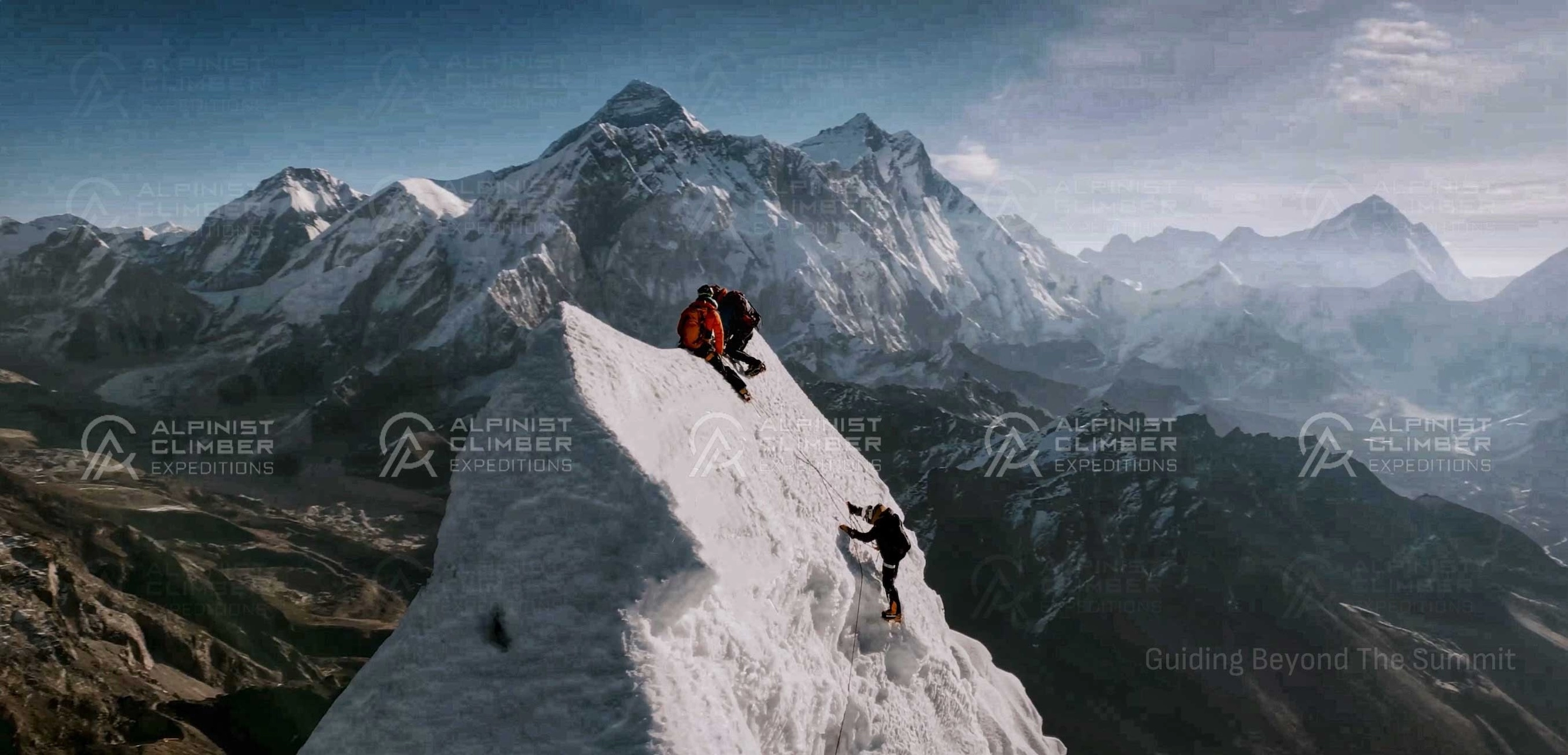
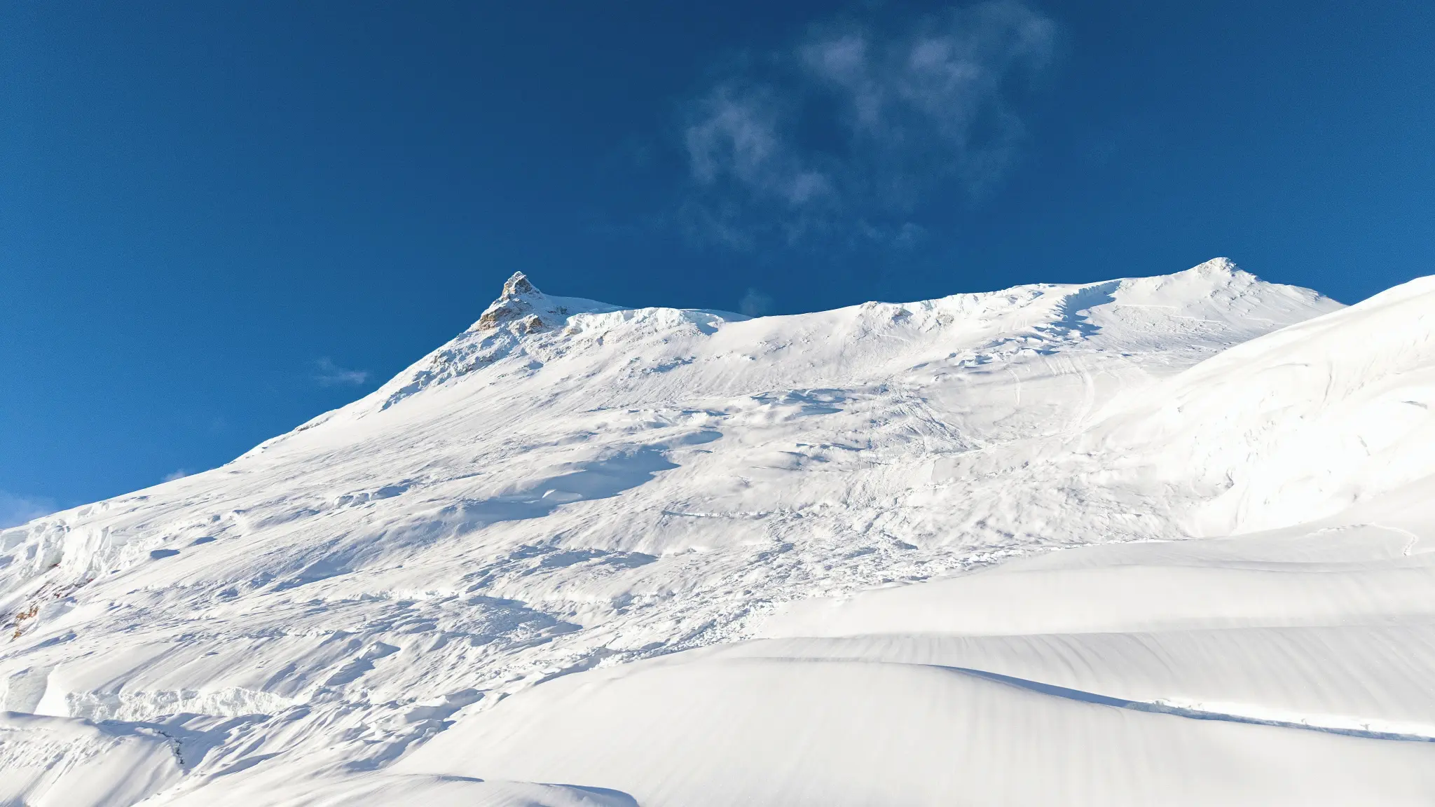
Island Peak — known by its Nepali name Imja Tse — rises to 6,160 metres at the head of the Chhukung Valley, flanked by the towering walls of Lhotse, Lhotse Shar, and Ama Dablam. Its name traces back to the early Everest expeditions of the 1950s, when the peak appeared as an island of rock and snow above the surrounding glaciers when viewed from Dingboche. It was first climbed in 1953 by a British team as a training peak for Everest — a role that describes its function in this expedition precisely.


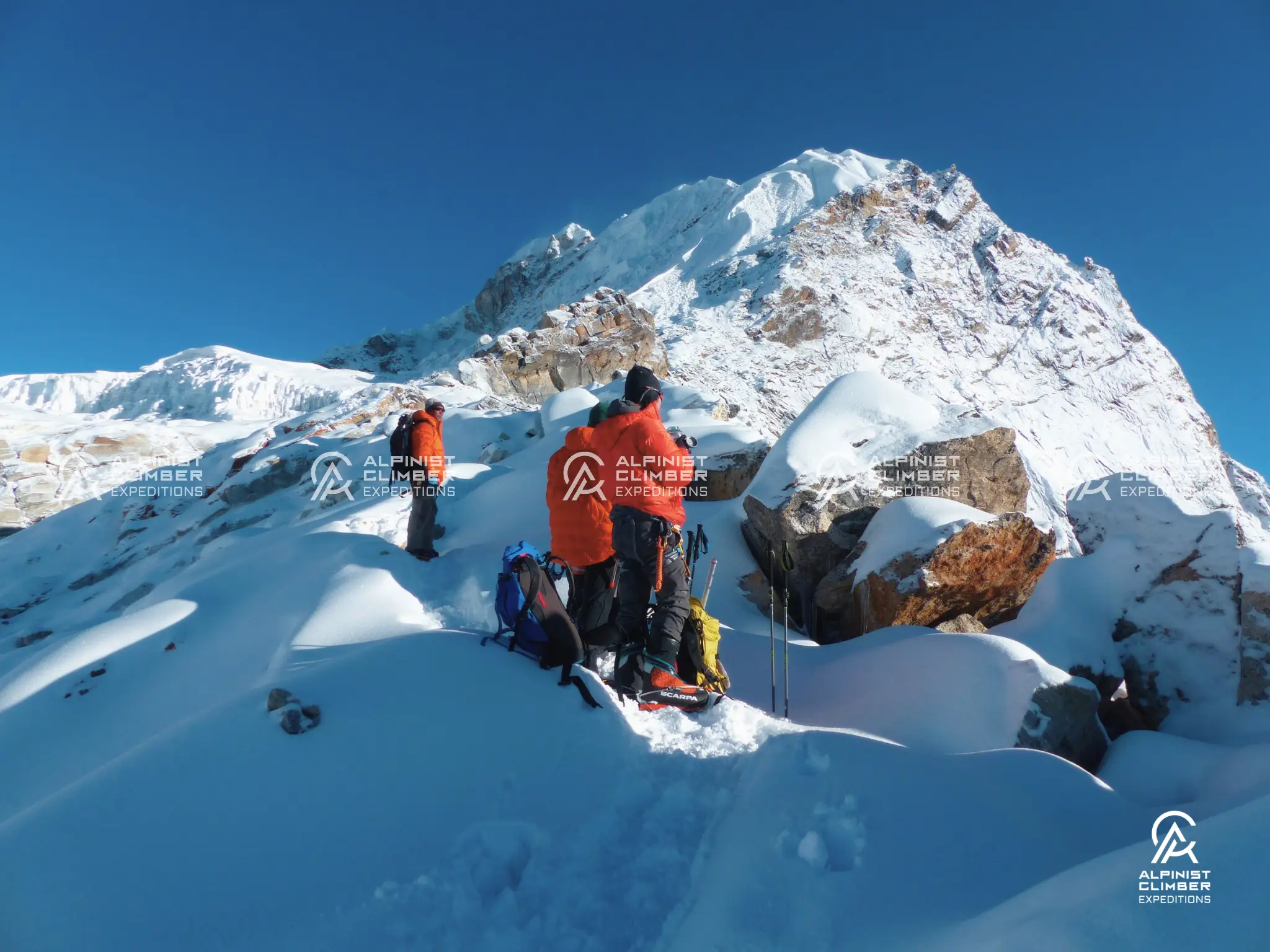
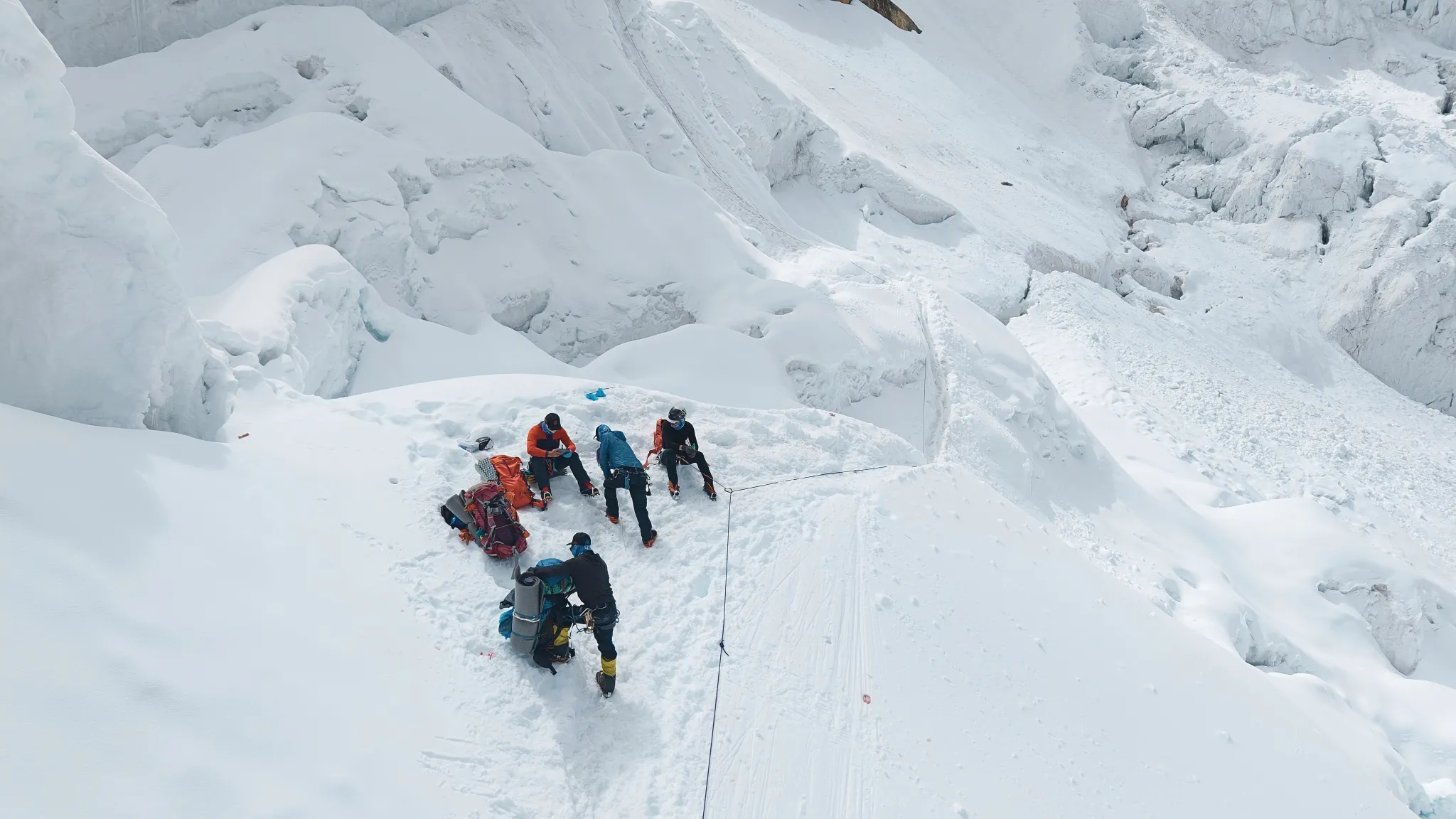
The standard route ascends from Base Camp at 5,100m through a glaciated approach to the base of a steep headwall — the defining feature of the climb. Fixed ropes protect the 45–50 degree snow and ice headwall, and crampon and jumar technique are essential from this point to the final snow ridge and the summit at 6,160m. Under IFMGA guide supervision, every step of this route is also a teaching environment. The headwall is where the guide builds each member's technical confidence — the skill that Lobuche East will rely on.


Lobuche East — 6,119m

Lobuche East stands at 6,119 metres above the Khumbu Glacier — a peak with a more varied and technically interesting route than its height relative to Island Peak might suggest. The approach from Lobuche village crosses lateral moraine before reaching Base Camp at 4,900m, and the route above gains a high camp at 5,270m before the summit ridge. The terrain mixes snow, rock, and some mixed ground on the upper sections — a different technical character to Island Peak's predominantly snow and ice headwall, and a valuable complement to it.


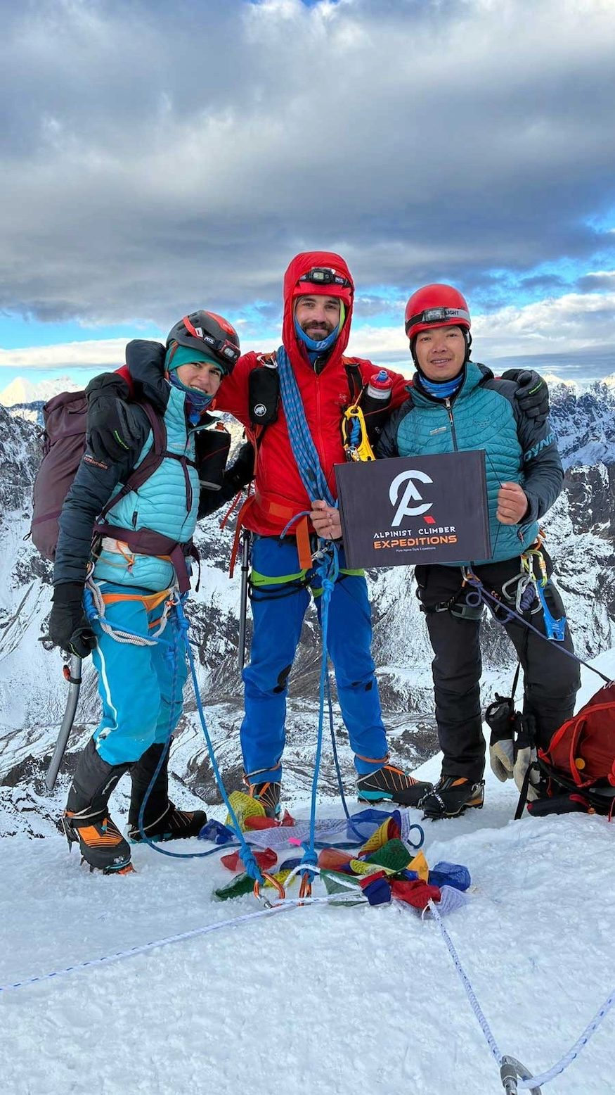
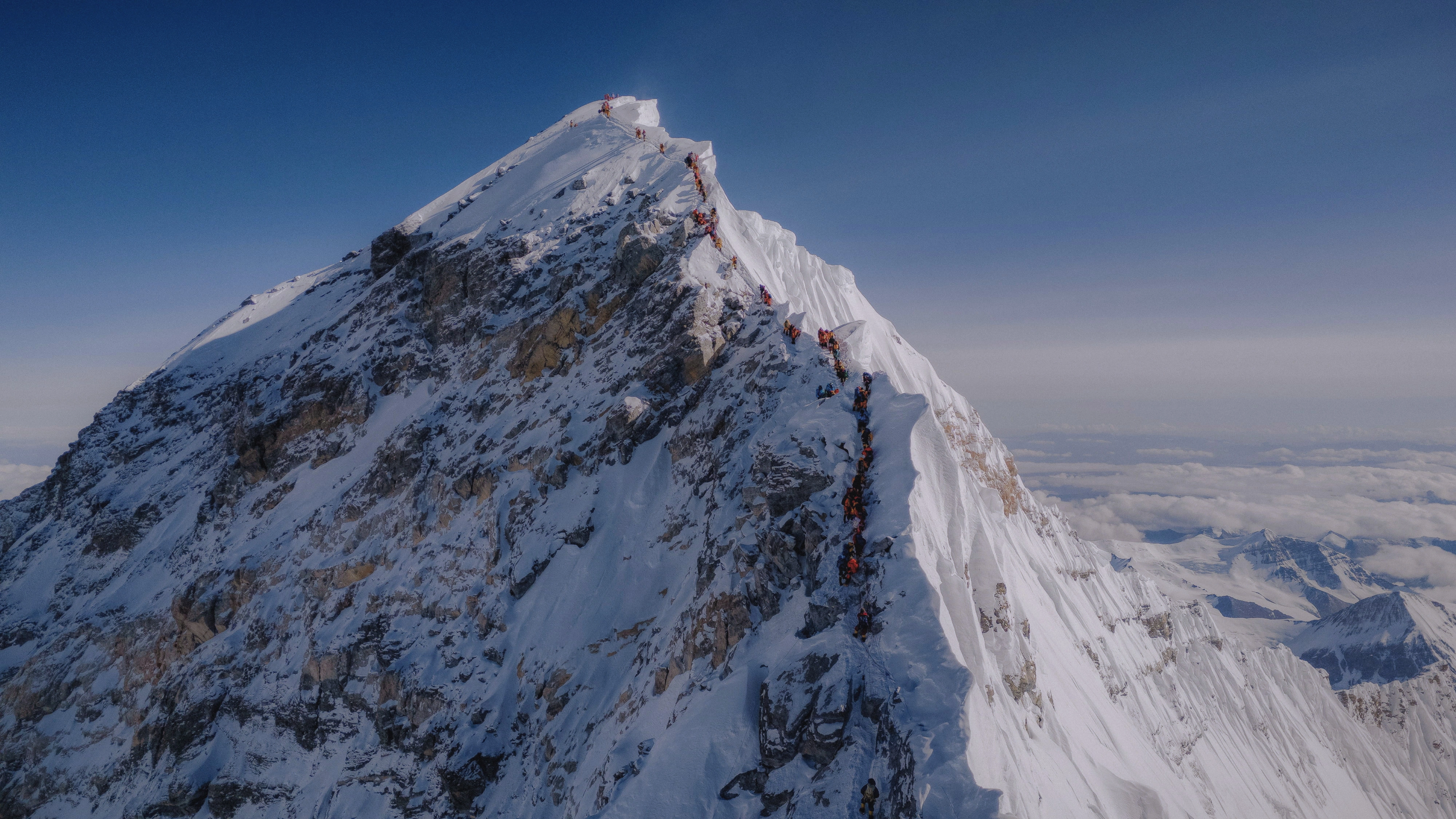
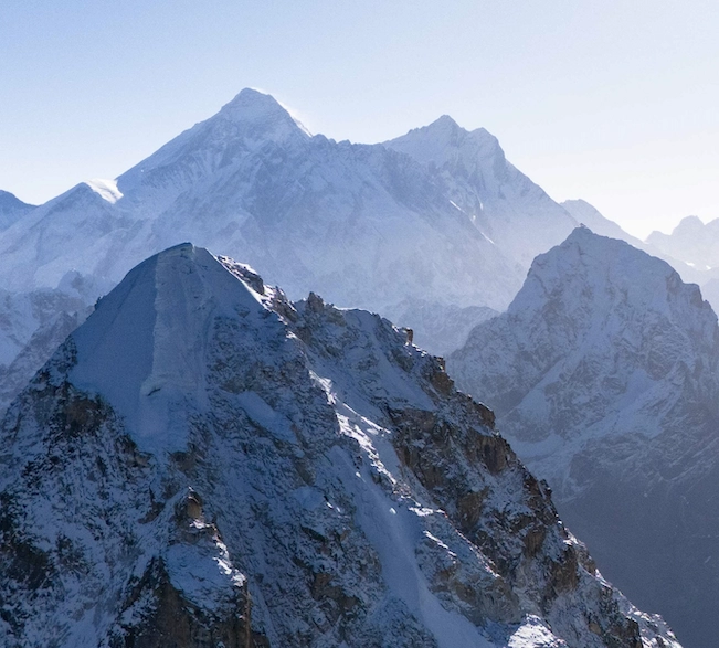
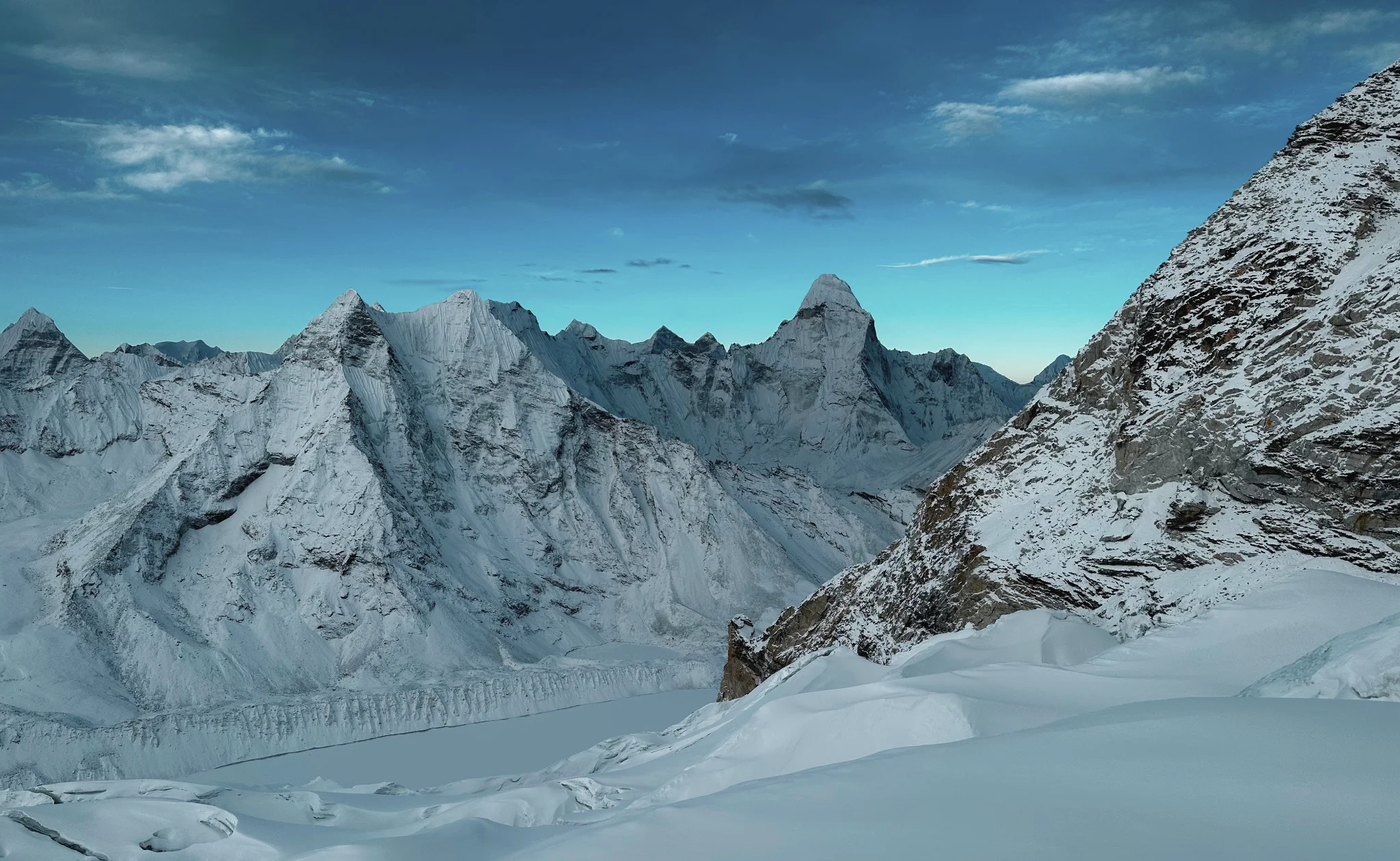
The summit of Lobuche East at 6,119m provides one of the finest viewpoints in the Khumbu: Everest's Southwest Face, Nuptse's North Face, Lhotse, Makalu, Ama Dablam, and Cho Oyu all visible from a position that very few non-technical trekkers ever reach. It is a summit that rewards the two weeks of effort invested to reach it.

Trip Overview

Duration
21 Days
Including travel days
Max Altitude
6,189m
Summit of LOBUCHE EAST & ISLAND PEAK COMBO EXPEDITION
Best Season
Spring & Autumn
Ideal climbing window
Group Size
Max 1 - 2
Small team support
Region
Khumbu Region
Expedition location
Grade
Moderate
High-altitude guided climb
Trip overview background

Trip Description

The Lobuche East and Island Peak Combo Expedition is the most purposefully designed entry point into Himalayan mountaineering available in the Khumbu. It pairs two accessible 6,000-metre summits in a 21-day programme that builds skills, altitude, and confidence in a deliberate sequence — giving every participant a proper foundation for the technical peaks that follow later in a climbing career.


The expedition begins in the upper Chhukung Valley, where a structured acclimatization hike to Chhukung Ri at 5,546m provides the team's first serious altitude exposure before Island Peak Base Camp. Island Peak (6,160m) is then climbed — a genuine high-altitude summit with a headwall that requires crampons, harness, and fixed rope technique. It is challenging, rewarding, and exactly the right first technical climb. Under IFMGA guide supervision, the skills learned on Island Peak's headwall like crampon movement, jumar use, rope management, and summit-day pace and discipline form the technical foundation that Lobuche East builds on.


The crossing from the Chhukung Valley to Lobuche via the Kongma La (5,540m) is one of the most dramatic and atmospheric high passes in the Khumbu — a demanding but rewarding transit that provides additional altitude exposure and an experience of the high-terrain navigation that characterizes serious Himalayan trekking. Lobuche East (6,119m) follows: a technical peak above the Khumbu Glacier with a ridge route that demands the same skills as Island Peak but presents them in a different and more varied form.


Together, these two summits make a complete and purposeful introduction to technical Himalayan climbing. This expedition is a stepping stone to Kyajo Ri, to Cholatse, to Ama Dablam, and eventually to whatever the mountains offer next. It is also, in its own right, an exceptional experience in one of the most beautiful mountain landscapes in the world.


Expedition Highlights

  • Two 6,000m summits in 21 days — Island Peak (6,160m) and Lobuche East (6,119m) — the ideal first mountaineering expedition

  • Structured IFMGA guide instruction throughout — alpine skills built on Island Peak, applied on Lobuche East

  • Kongma La (5,540m) crossing between the two peaks — one of the most dramatic high passes in the Khumbu

  • Chhukung Ri (5,546m) acclimatization hike — managed altitude exposure before the first summit

  • The full Khumbu approach via Namche Bazaar, Tengboche, Dingboche, and Chhukung — some of the finest trekking in the Himalaya

  • A clear stepping stone toward more technical peaks — Kyajo Ri, Cholatse, and Ama Dablam in the future

  • IFMGA-certified lead guide and 1:1 Climbing Sherpa support on both summit days

  • Option for a fully private 1:1 expedition with IFMGA Guide Mr. Prakash Sherpa


Led by IFMGA-Certified Professionals

The instructional quality of this expedition is what separates it from a simple two-peak package. The IFMGA certification is not just a safety credential — it is a teaching qualification. Our guides are trained to build alpine skills in the field, in context, on real terrain. On Island Peak's headwall and Lobuche East's mixed upper ridge, that instructional capability is what transforms a challenging experience into a genuinely educational one.


Every Lobuche East and Island Peak Combo Expedition is led by an IFMGA / UIAGM / IVBV-certified mountain guide — the highest internationally recognized certification in professional mountain guiding. Our guides hold additional training in Advanced Mountaineering, Wilderness First Aid, Helicopter Rescue and Marshalling, and Rock Climbing Level One — all applied in the field on every expedition they lead.


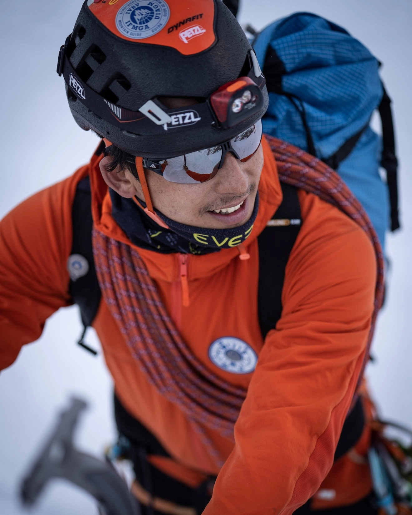
Mr. Prakash Sherpa, CEO and Lead IFMGA Mountain Guide of Alpinist Climber Expeditions, has been guiding at high altitude since the age of 18 with over 15 years of professional experience across Everest, Lhotse, Makalu, Cho Oyu, Dhaulagiri, Manaslu, Nuptse, Pumori, and Ama Dablam. He is a member of the Nepal National Mountain Guide Association (NNMGA). For those selecting the premium 1:1 private option, Mr. Prakash Sherpa leads the full expedition personally.

Detailed Itinerary

A representative from Alpinist Climber Expeditions meets you at Tribhuvan International Airport and transfers you to your 4-star hotel. The evening opens with a welcome dinner — an introduction to your guide, fellow team members, and the 21-day journey ahead.

A full briefing covers both peaks — Island Peak and Lobuche East — including the route, camp structure, technical requirements, acclimatization plan, and safety protocols. Equipment is checked and confirmed. You receive your Alpinist Climber Expeditions duffel bag, cap, and T-shirt. The afternoon is spent visiting Kathmandu's UNESCO World Heritage Sites — Boudhanath, Pashupatinath, and the medieval durbar squares — before the flight to Lukla the following morning.


  Duration     Distance     Elevation  
Full Day 5–10 km (city tour) Minimal

An early mountain flight from Kathmandu to Lukla (2,840m) in approximately 35 minutes. In Lukla, the team assembles and loads are organized before the trek begins. The trail descends along the Dudh Koshi River through pine forest to Phakding — a comfortable and scenic first trekking day along one of the world's most famous approach routes.


  Duration     Distance     Elevation  
35 min flight + 3–4 hrs trek Flight: ~138 km, Trek: ~8 km −250 m (2,860 m → 2,610 m)

The trail crosses the Sagarmatha National Park entry checkpoint at Monjo and climbs steeply from the river confluence to Namche Bazaar at 3,440m. The ascent gains roughly 600 metres from the valley below and is the most physically demanding trekking day of the approach — but the first clear views of Everest, Lhotse, Nuptse, and Ama Dablam that appear above the ridge on the final approach to Namche make it one of the most rewarding.


  Duration     Distance     Elevation  
6–7 hrs ~10 km +830 m (2,610 m → 3,440 m)

A structured acclimatization day. A morning hike to the Everest View Hotel ridge at approximately 3,800m gives the team its first purposeful altitude exposure — climbing high and returning to sleep lower, the fundamental principle of Himalayan acclimatization. Khumjung village, the Sherpa school funded by Sir Edmund Hillary, and the ancient monastery with its famous yeti skull are all within walking distance of the viewpoint. The afternoon is free in Namche — one of the most well-equipped and characterful villages on any mountain approach in the world.


  Duration     Distance     Elevation  
3–5 hrs (optional hike) 5–8 km +350–450 m (optional hike, return to Namche)

The trail descends from Namche through rhododendron forest before climbing to the Tengboche ridge and its famous monastery — the most well-known Buddhist site in the Khumbu. Ama Dablam rises directly above Tengboche in a view that justifies the climb from the valley alone. Island Peak's position in the upper Chhukung Valley is now closer, and the mountain begins to take on a real presence in the expedition's landscape.


  Duration     Distance     Elevation  
5–6 hrs ~10 km +420 m (includes descent and ascent to 3,860m)

The trail crosses the Imja Khola and climbs to Dingboche at 4,410m — an open, broad village at a meaningful altitude where Lhotse's south face dominates the upper horizon and Island Peak's summit ridge is visible in the upper Chhukung Valley to the east. The altitude makes itself felt here for the first time, and the pace is kept deliberately steady. Proper hydration begins to matter more at this elevation.


  Duration     Distance     Elevation  
5–6 hrs ~11 km +550 m (3,860 m → 4,410 m)

A short but significant walk from Dingboche to Chhukung — the last permanent settlement in the upper Imja Valley and the staging point for Island Peak. The surrounding landscape is raw glacial terrain: moraine ridges, glacial lakes, and the ice-draped walls of Lhotse rising directly above. Island Peak's summit ridge is clearly visible from the village at close range. The altitude at 4,750m is noticeable and the body's adaptation continues.


  Duration     Distance     Elevation  
3–4 hrs ~5 km +340 m (4,410 m → 4,750 m)

A serious acclimatization hike to Chhukung Ri at 5,546m — a rocky ridge above Chhukung with one of the most panoramic views in the eastern Khumbu. The ascent takes three to four hours and provides the first genuine measure of what sustained effort above 5,000m feels like in these conditions. From the summit, Makalu, Baruntse, Ama Dablam, Lhotse, Everest, and Island Peak are all simultaneously visible — the team's first view of their first summit objective from above 5,500m. The descent returns to Chhukung for the final lodge night before Base Camp.


  Duration     Distance     Elevation  
5–7 hrs ~7 km +796 m (4,750 m → 5,546 m, return to Chhukung)

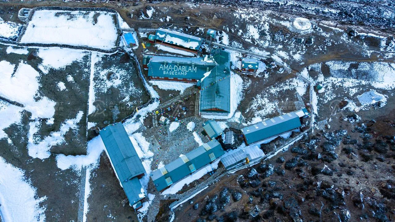
From Chhukung, the trail climbs onto the moraine above the Imja Glacier to Island Peak Base Camp at 5,100m. The approach is a mix of rocky trail and glacial terrain, with the island-like form of the peak rising more dramatically with every hundred metres gained. Tents are established at Base Camp, the team eats well and rests early — summit day begins before dawn.


  Duration     Distance     Elevation  
3–4 hrs ~6 km +350 m (4,750 m → 5,100 m)

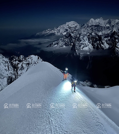
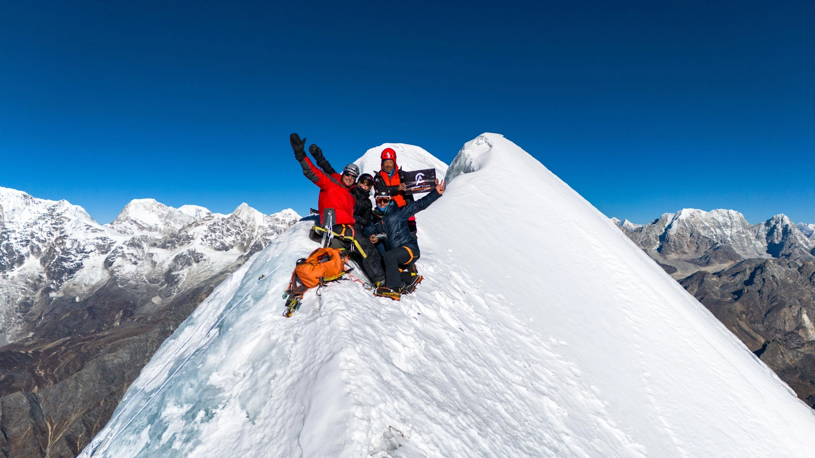
The summit day begins in the early hours by headlamp. The route climbs from Base Camp through the glacier basin to the base of the headwall — a sustained 45–50 degree snow and ice slope protected by fixed ropes. Crampons and jumar are in use from the bottom of the headwall, and the IFMGA guide works directly with every team member on technique throughout this section. The final snow ridge to the summit at 6,160m is exposed and views of Lhotse, Makalu, Baruntse, and the Chhukung Valley spread far below.


This is the first technical alpine summit for many members of this expedition — and a genuine one. After the celebration, the team descends carefully back to Base Camp and continues down to Chhukung for the night. The Kongma La crossing and Lobuche East await the following day.


  Duration     Distance     Elevation  
10–14 hrs ~12 km +1,060 m (5,100 m → 6,160 m, then descend to 4,750 m)

The Kongma La crossing is one of the most dramatic high passes in the Khumbu — a 5,540m col that connects the Chhukung Valley to the Lobuche side of the glacier system. The approach from Chhukung climbs steeply to the pass on rocky, sometimes icy terrain. Crampons may be needed on the upper section depending on conditions. From the Kongma La, a broad view opens across the Western Cwm and the Khumbu Glacier — Everest, Nuptse, and Lhotse filling the upper skyline. The descent to Lobuche is long but the altitude gain of the crossing provides additional acclimatization benefit before Lobuche East.


  Duration     Distance     Elevation  
7–8 hrs ~11 km +790 m / −640 m (cross Kongma La Pass, finish at 4,900m)

A full rest day in Lobuche between the two summits. The body recovers from Island Peak and the Kongma La crossing. The team eats well, rests, and prepares for the move to Lobuche East High Camp the following morning. The guide reviews weather forecasts and confirms the plan. Lobuche village sits at the foot of Lobuche East's approach — the route is visible directly above.


  Duration     Distance     Elevation  
Full Day 2–4 km +100–200 m (optional acclimatization hike)

From Lobuche village, the route climbs through moraine and rocky terrain before transitioning to snow and the lower sections of the Lobuche East ridge. High Camp at 5,270m sits above the main glacier on the approach to the summit ridge — a well-positioned camp with the upper mountain clearly visible above. Tents are established, a hot meal prepared, and the team rests in preparation for an early summit departure.


  Duration     Distance     Elevation  
4–5 hrs ~3 km +370 m (4,900 m → 5,270 m)

The summit day on Lobuche East begins before dawn. The route from High Camp climbs to the summit ridge through mixed terrain — snow, some rock, and the technical sections that distinguish Lobuche East from a pure snow climb. The skills built on Island Peak's headwall are directly applied here: crampon technique on varied terrain, confident movement with the rope, and sustained effort at altitude. The summit at 6,119m delivers an extraordinary view — Everest's Southwest Face rises to the north, Nuptse's North Face is almost within reach, Lhotse, Makalu, Ama Dablam, and Cho Oyu extend across the horizon.


Two summits. Two 6,000m peaks. The team descends carefully to Lobuche village — a 1:1 Climbing Sherpa alongside every member throughout — and the return trek to Kathmandu begins the following morning.


  Duration     Distance     Elevation  
10–13 hrs ~8 km +849 m (5,270 m → 6,119 m, then descend to 4,900 m)

The descent from Lobuche drops through the familiar terrain of the upper Khumbu corridor — past the memorial chortens at Thokla, through Dughla, and along the Imja Khola valley to Pangboche. The altitude drop from 4,900m to 3,985m is felt immediately and genuinely. Pangboche's ancient monastery provides a meaningful cultural pause before the lower valley.


  Duration     Distance     Elevation  
5–6 hrs ~14 km −915 m (4,900 m → 3,985 m)

The trail returns through the now-familiar route to Namche — past Tengboche and down through rhododendron forest. The valley looks different from this side of the summits. Two 6,000m peaks completed, and the scale of what has been achieved over the previous two weeks becomes clearer with every step back toward lower ground.


  Duration     Distance     Elevation  
5–6 hrs ~13 km −545 m (3,985 m → 3,440 m)

The final trekking day follows the Dudh Koshi River downstream from Namche through Phakding and the lower Khumbu forest to Lukla. The trail is familiar and the pace comfortable. Porters are thanked and bid farewell in Lukla before the last night on the trail.


  Duration     Distance     Elevation  
6–7 hrs ~18 km −580 m (3,440 m → 2,860 m)

An early morning flight from Lukla returns the team to Kathmandu. The afternoon is free for rest, a walk through Thamel, or final souvenir shopping. A farewell dinner in the evening celebrates two summits, 21 days in the Khumbu, and a genuine introduction to technical Himalayan mountaineering.


  Duration     Distance     Elevation  
35 min flight ~138 km (air) −1,530 m (2,860 m → 1,330 m)

A free day in Kathmandu for recovery, cultural exploration, or personal time. This buffer day provides comfortable flexibility for international connections and any final arrangements before departure.


  Duration     Distance     Elevation  
Full Day 5–10 km Minimal

Private airport transfer is arranged for your outbound flight. The Lobuche East and Island Peak Combo Expedition concludes — 21 days, two 6,000m summits, and the beginning of a serious mountaineering progression in the Khumbu.

Why ACE?

Alpinist Climber Expeditions was built around a principle that has guided every climb we have organized — that the quality of the experience on a mountain is directly tied to the quality and depth of experience of the people leading it. What sets Alpinist Climber Expeditions apart is something that cannot be manufactured or replicated — it comes from decades spent on these mountains, from the culture that formed us, and from a deeply held belief that every climb deserves to be done properly.


We are a team of professional Sherpas. Not guides who have visited the Himalaya — guides who grew up here, who know these peaks in every season, and who have spent careers developing the technical skills and mountain judgment required to lead expeditions safely and successfully.


Our team holds IFMGA / UIAGM certification — the highest international standard in professional mountain guiding — alongside Advanced Mountaineering, Wilderness First Aid, Helicopter Rescue, and High-Altitude Rescue qualifications. Our lead guide has summited multiple 8,000-metre peaks, including ascents without supplemental oxygen. This is not a credential on paper. It is a lived capability that directly protects every climber who climbs with us.


We offer two expedition structures: a standard option with small-group expedition, and a premium option with 1:1 guide-to-client ratio. Both are built on the same standard of safety, preparation, and professionalism.The standard option maintains a minimum 1:3 guide-to-client ratio with a dedicated IFMGA lead guide and Sherpa support on every climb. Our premium 1:1 private option places you on the mountain directly alongside IFMGA Guide Mr. Prakash Sherpa.


We do not run high-volume operations as our clients are not bookings. They are climbers who have chosen to trust us with something significant and we take that trust seriously on every single expedition. We do not cut corners on acclimatization, staffing ratios, or safety equipment. We organize expeditions the way they should be organized — with patience, precision, and the kind of local knowledge that only comes from growing up in these mountains and spending a career on them.


The Team

Expedition Guides

Every guide on our team has been selected for their technical ability, high-altitude experience, and personal commitment to the safety and success of every climber they lead. All guides carry extensive experience at altitude and hold a proven record of safety, summit success, and strong compatibility with international clients.

The number of guides assigned to each expedition is determined by the size of the climbing team. Our standard guide-to-member ratio is 1:3, ensuring that every climber receives consistent, attentive support throughout the approach, the acclimatization phase, and the technical climb itself.


Climbing Sherpa Support

A dedicated team of experienced Climbing Sherpas supports every expedition with load carrying on the mountain, route preparation, and high camp management. On summit day, we maintain a 1:1 Sherpa-to-climber ratio — a commitment that reflects our belief that the summit push is where support matters most.

Our Climbing Sherpas are not simply load carriers. They are experienced high-altitude professionals who understand the mountain, the route, and the demands of summit day. Their presence alongside every climber on the final push is a core part of how we manage safety and success on the upper mountain.


What to Expect from Our Team

  • Technically qualified, IFMGA-certified lead guidance on every expedition
  • A standard guide-to-member ratio of 1:3 — adjusted based on team size and peak requirements
  • 1:1 Climbing Sherpa support on summit day for every team member
  • Guides who are experienced, companionable, and genuinely invested in your success
  • Full medical kit, satellite communication, and emergency response capability carried by the team at all times
  • A premium 1:1 private option available — summit alongside Mr. Prakash Sherpa directly


Trip Notes

Quick facts: Lobuche East: 6,119m | Island Peak (Imja Tse): 6,189m | Khumbu region | Total expedition: approx. 22–26 days | Best season: spring & autumn | Combined grade: moderate to moderately technical — ideal first technical combo


Why This Combination?


Lobuche East and Island Peak are the two most popular trekking peaks in the Khumbu, and combining them in a single expedition is one of the most rewarding and efficient ways to experience real Himalayan climbing for the first time. Both peaks are accessible to fit, well-prepared climbers without advanced prior experience, yet both require genuine technical skills — crampon and ice axe use, fixed-rope technique, and glacier travel — making the combination a solid stepping stone towards more demanding objectives in the future.


Overview


The entire route overlaps with the famous Everest Base Camp trek, so climbers pass through Namche Bazaar, Tengboche, Dingboche, and Lobuche while acclimatising naturally before either summit attempt. Lobuche East is typically climbed first, since it lies directly along the EBC trail and its high camp at around 5,400m provides excellent preparation for Island Peak's higher summit. After Lobuche East, the team continues to Gorak Shep, Everest Base Camp, and then descends through Dingboche to the Chhukung Valley for Island Peak — making the traverse feel like a natural, connected journey rather than two separate expeditions bolted together.


Route & Character


Lobuche East's summit day climbs from a high camp at around 5,400m up a steepening snow and ice slope (45–50°) protected by fixed ropes to a narrow final ridge. Island Peak then builds on this experience with a longer glacier crossing before a steep fixed-rope headwall (the technical crux) and a final exposed ridge. The two peaks cover similar terrain types — glaciers, fixed lines, steep snow and ice — but with enough variation in length, angle, and exposure to genuinely test and develop a climber's skills across the expedition.


Key Risks & Why They Matter


Fixed-rope technique on steep ice and snow: Both peaks require confident use of a jumar ascender, crampons, and ice axe on 45–50° slopes — not aggressively technical by mountaineering standards, but demanding enough that climbers without any prior training on these skills should practise before the expedition. Making technical mistakes on the fixed lines wastes time and energy at altitude, where both are precious.

Glacier crevasse hazards: Both routes cross glaciated terrain where crevasses can be hidden beneath snow, particularly later in the season when surface coverage thins. Teams rope together and follow the guide's route specifically to manage this — deviating from the marked line, even slightly, carries a real risk of breaking through into a hidden gap.

Altitude sickness on a back-to-back schedule: Spending three or more consecutive days above 5,000m across both peaks, with high camps at 5,400m and 5,600m respectively, means the body is under sustained altitude stress for the middle portion of the expedition. The itinerary includes a rest and repositioning day between the two summits partly for logistical reasons and partly to allow partial physiological recovery before the Island Peak push.

Long, tiring summit days on both peaks: Both Lobuche East and Island Peak involve summit days of 8–10 hours from high camp, covering steep technical ground in thin air — it is straightforward exhaustion, rather than technical failure, that is the most common reason climbers struggle to complete the summit. Solid cardiovascular preparation before the trip pays dividends far more than technical skill training for this particular combination.

Cold and wind exposure near the summit: High camps on both peaks are pitched above 5,400m with limited natural shelter, and summit attempts begin before dawn when temperatures and wind can be severe. Frostbite risk to fingers and toes increases when climbers are slowed by fatigue or bottlenecks on the fixed lines — managing layering systems, knowing when to retreat, and keeping moving all help reduce this risk.


Note: All ACE expeditions are subject to the unpredictable conditions of the Himalaya. Weather at altitude can change within hours, and your safety always takes priority over the fixed schedule — if trails become unsafe, snow conditions deteriorate, or flights to remote airstrips are delayed by poor visibility or wind, we will adjust the itinerary, reroute, or arrange alternative transport as needed. These changes are made solely to protect you, and our guides will ensure the spirit and quality of your expedition is never compromised. ACE is not liable for costs arising from missed international flights due to such delays, so we strongly recommend comprehensive travel insurance covering trip interruption, flight disruption, and emergency evacuation before you travel.
Equipment List

This expedition involves 21 days across the full range of Khumbu terrain — from lodge trekking at 3,000m to 6,160m summit ridges. All equipment should be tested before departure. Mountaineering boots in particular must be properly broken in and confirmed to be compatible with your crampons before leaving home.


Headwear

  • Sun hat or lightweight cap

  • Warm fleece or wool hat

  • Balaclava or thin face mask

  • UV-protective sunglasses — category 4 recommended

  • Ski goggles with UV protection and anti-fog system


Handwear

  • Thin liner gloves

  • Fleece or wool mid-layer gloves

  • Gore-Tex or waterproof insulated outer gloves

  • Down mittens — recommended for both summit pushes


Clothing

  • Expedition-quality down jacket with hood

  • Waterproof Gore-Tex jacket

  • Waterproof Gore-Tex over-trousers

  • Fleece jacket or softshell mid-layer

  • Fleece or insulated trousers

  • Thermal base layer — top and bottom

  • Moisture-wicking base layer tops (2–3)

  • Light hiking trousers for the trek


Footwear

  • High-altitude mountaineering boots — required for both peaks

  • Trekking boots for approach and lodge stages

  • Camp shoes or light slippers

  • Warm mountaineering socks (4–5 pairs)

  • Snow gaiters


Technical Climbing Equipment

  • UIAA-approved climbing helmet

  • Sit harness

  • Ascender (jumar) — essential for the Island Peak headwall

  • Descending device (ATC guide or similar)

  • Locking carabiners (4 minimum)

  • Non-locking carabiners (2)

  • Ice axe — classic alpine type

  • Crampons compatible with mountaineering boots

  • Trekking poles


Sleeping Equipment

  • Sleeping bag rated to -20°C

  • Sleeping mat or Thermarest

  • Sleeping bag liner — recommended


Trekking & Camp Essentials

  • 45-litre rucksack with rain cover

  • Large duffel bag with padlock

  • Headlamp with spare batteries

  • 1-litre water bottles (x2) and 1-litre thermos

  • Personal first aid kit

  • Personal snacks and energy bars


Hygiene & Sun Protection

  • Waterproof wash bag and medium towel

  • Toiletries — soap, toothbrush, toothpaste

  • Sunscreen SPF 50+ and lip balm with UV protection

  • Hand sanitizer, wet wipes, and toilet paper

Includes background

Includes & Excludes

Included
  • Lobuche East climbing royalty and expedition permit fees
  • Island Peak climbing royalty and expedition permit fees
  • Sagarmatha National Park entry permit
  • TIMS (Trekkers' Information Management System) card
  • Garbage disposal and environmental management fees
  • All government taxes, VAT, and official tourism service charges
  • IFMGA-certified lead mountain guide — full wages and comprehensive insurance
  • Experienced Climbing Sherpa support — wages, summit bonuses for both peaks, equipment, and full insurance
  • Porters to carry trekking and expedition gear at a 1:1 member-to-porter ratio
  • All staff accommodation, wages, equipment, insurance, and medical provisions
  • 4-star hotel accommodation in Kathmandu with daily breakfast (3 nights)
  • Full-board lodge accommodation during all trekking phases
  • Single tent per member at Island Peak Base Camp and Lobuche East High Camp
  • Dining tent and toilet tent at Island Peak Base Camp
  • High camp tent at Lobuche East High Camp
  • Domestic flights: Kathmandu to Lukla and return (both ways)
  • Private vehicle airport transfers in Kathmandu — pick-up and drop-off
  • Welcome dinner on Day 01 in Kathmandu
  • Farewell dinner on the last evening in Kathmandu
  • Daily breakfast at 4-star hotel in Kathmandu
  • Full-board meals during all trekking and lodge phases
  • High-altitude food and snacks for members and guides at all high camps on both peaks
  • Medical kit carried throughout the expedition
  • Satellite phone for emergency communication
  • Alpinist Climber Expeditions branded duffel bag, cap, and T-shirt per member
Not Included
  • International airfare (to and from Kathmandu)
  • Nepal entry visa fees
  • Lunches and dinners in Kathmandu — meals outside of included welcome and farewell dinners and daily breakfasts
  • Alcoholic and soft beverages
  • Internet and WiFi access
  • Personal clothing and climbing equipment
  • Personal first aid kit
  • Special drone permit fees
  • Personal travel, medical, and emergency rescue insurance
  • Gratuities for guides, Climbing Sherpa, and porters

1:1 Experience with Your Lead Guide

Lead Guide

Prakash Sherpa

Founder & IFMGA Mountain Guide

Our lead guide Prakash Sherpa oversees expedition strategy, pacing, and on-mountain decision-making so your climb is supported from preparation through summit push.

You get direct access to experienced guidance, real-time judgement in changing conditions, and a more focused expedition experience built around safety, clarity, and strong leadership.

Certification
IFMGA / IVBV / UIAGM

Package Options

Standard

An expertly guided group expedition offering an affordable, memorable way to attempt stunning peaks alongside fellow adventurers.

Starting From
€6,600
per person
  • → Group Expedition
  • → 1:1 Climbing Sherpa Guide
  • → Well-Planned Itinerary
  • → Fixed Group Schedule
  • → Minimum 3 Participants
  • → Professionally Guided
  • → Excellent Value
  • → Best for Budget-conscious Adventurers
Book Standard
Premium

A fully personalized, private expedition with 1:1 IFMGA guiding — designed around your goals, pace, and schedule for an exclusive mountain experience.

Starting From
€9,600
per person
  • → Private Expedition
  • → 1:1 Private IFMGA Mountain Guide
  • → Fully Tailored Itinerary
  • → Flexible Scheduling
  • → Premium Value
  • → Heli flight IN / OUT
  • → Premium, Personalized Experience
  • → Best for Adventurers Seeking a Personalized, Exclusive Experience
Book Premium

FAQs

Yes — with an important qualification. This expedition is designed for beginners to technical mountaineering, but you should arrive with a solid foundation of physical fitness and prior trekking experience at altitude — ideally above 4,000m. No prior crampon or rope experience is required: the IFMGA guide provides hands-on technical instruction throughout the expedition, and the programme is specifically structured to build skills progressively before each summit. What you do need is the physical conditioning and mental commitment to sustain three weeks of demanding high-altitude activity. If you have serious doubts about either, speak with us before booking — we will give you an honest assessment.

Alpinist Climber Expeditions
GUIDING BEYOND THE SUMMIT
Client Stories

From the Summit

Daniel Puttkemery
Daniel Puttkemery
Kyajo Ri Expedition
Prakash and his team are a couple of notches above totally professional! Everyone in the Alpinist Climber Expeditions family goes out of their way to provide the best possible experience. Superb core values and safety principles. I had the good fortune of climbing Kyajo Ri with Alpinist Climber Expeditions and…
Luca Smargiasso
Luca Smargiasso
Ama Dablam 6,812m
I have been climbing for 15 years, over 4 continents. This was my 3rd trip to Nepal. And this was undoubtedly one of the Best-organised expeditions have participated in. Cannot thank Prakash and his Team enough. The attention to detail both in terms of equipment, climbing conditions, and accommodation/food was…
Raphael Lindenmann
Raphael Lindenmann
Kyajo Ri
In April 2025, we completed an unforgettable expedition to Kyajo Ri with ACE. We were four friends from Switzerland and enjoyed about two and a half weeks in the Khumbu region. From our arrival in Kathmandu to the summit and back, ACE's organization was impeccable.A well-coordinated team, superb support, excellent…
Andy Tronsberg
Andy Tronsberg
Kyajo Ri & Island Peak
Perfect organised and guided expedition I ever took part! We climbed island peak and kyajo ri alpine style! Safety is always first, all team members are super kind and professional and also laughing comes not to short! Thanks for this unforgettable experience!! Andreas.
Rogier Keulen
Rogier Keulen
Mt. Kyajo Ri & Mt. Cholatse
With IFMGA guide Prakash we climbed Kyajo Ri and Cholatse. Our expedition couldn't have been any better! We had a lot of fun and summiting stunning Cholatse is the most intense thing I've done. We did it alpine style, so without fixed ropes from bottom to top. Safety was a…
Manu Laireiter
Manu Laireiter
Kyajo Ri
I participated in a private expedition to Kiayo Ri with Alpinist Climber Expeditions – and it was simply fantastic. From the initial consultation to the final summit push, everything was perfectly organized and tailored to my individual needs.The guides were not only highly professional and extremely experienced in high-altitude mountaineering,…
Expedition Journal

Dispatches from the Mountains

All Articles
Kyajo Ri Expedition Report 2022
Expedition Report

Kyajo Ri Expedition Report 2022

  This report follows the climb from Kathmandu to the summit of Kyajo Ri (6,186m), through Lukla, Namche Bazaar, and the quiet Khumjung valley, up to a base camp shared with fresh snow leopard tracks, and finally to a 7:58 a.m. summit reached with no other team on the mountain.   If you're researching Kyajo Ri expedition before booking your own climb, this report also covers what most climbers want to know: how technical it is, how it compares to other Khumbu trekking peaks, and what the summit push really involves.   Expedition Overview •     Peak: Kyajo Ri, 6,186 m (20,296 ft) •     Region: Khumbu Region, between the Gokyo and Thame valleys, Everest Region, Nepal •     Summit Date: 3 May 2022 •     Starting Point: Kathmandu, via mountain flight to Lukla (Tenzing-Hillary Airport) •     Route: Lukla → Phakding → Namche Bazaar → Khumjung → Base Camp (4,550 m) → Camp 1 (acclimatization) → High Camp (5,300 m) → Summit, climbed in alpine style •     Guiding: Led by an IFMGA-certified mountain guide from Alpinist Climber Expeditions, supported by our climbing Sherpa staff •     Weather: Clear and stable on summit day, which made the demanding alpine-style push possible   Kyajo Ri is classified as a Group A trekking peak by the Nepal Mountaineering Association, but don't let that label undersell it. It's widely considered more technical than neighboring peaks like Island Peak or Lobuche East, with sustained sections of ice, rock, and snow that call for real alpine climbing skills rather than a straightforward walk-up.   Full Expedition Report   Kathmandu to Phakding The expedition began with a 30-minute mountain flight from Kathmandu to Tenzing-Hillary Airport in Lukla. We had lunch there with a beautiful view over the airport before setting off on a short hike down to Phakding village to spend the first night on the trail.   Phakding to Namche Bazaar The trail to Namche Bazaar crosses several bridges, including the Hillary suspension bridge, the highest in the region. The final kilometers climb steeply, but the views make you forget the effort. Arriving in Namche, we had a warm welcome from the local Sherpa community and settled into the Sherpa Barista Home lodge for the next two nights.   Acclimatization in Namche Bazaar We spent two days in Namche to acclimatize, using the time to visit local cultural museums and get to know the Sherpa community a little better. We also hiked up to the Everest View Point, both for altitude adjustment and for a first look at the highest mountain in the world.   Namche Bazaar to Khumjung From Namche, we continued to Khumjung village at 3,800 m, where we stayed overnight, rested, and made our final preparations before heading toward Kyajo Ri base camp.   Khumjung to Kyajo Ri Base Camp (4,550 m) Leaving Khumjung, the trail climbed over a steep hill before opening into a flat valley, where we set up base camp at 4,550 m.   Acclimatization at Base Camp and Camp 1 We spent two nights at base camp to acclimatize, including a hike up to Camp 1 to adjust to the higher elevation. The route to Camp 1 crosses moraine terrain, with striking views the whole way. This remote valley is also home to more wildlife than you'd expect — on the way up, we spotted fresh snow leopard tracks in the snow, left just minutes before we arrived. It's a reminder of how wild and untouched this part of the Khumbu still is.   Base Camp to High Camp (5,300 m) From base camp, we moved up to a high camp set between Camp 1 and Camp 2, at 5,300 m. We slept for only a few hours before the summit push. With no other teams climbing Kyajo Ri that season, the camps and the mountain itself were entirely ours.   Summit Day (3 May 2022) We left high camp at 1:00 a.m. Climbing in true alpine style through the night was demanding — the route mixed ice, rock, and deep snow, and with no other team having climbed the mountain that period, there was no packed trail to follow. Every section had to be worked out as we went.   The summit push was long and hard because of the snow conditions, but the weather stayed perfect throughout, which made it possible to keep pushing despite the difficulty. At 7:58 a.m., we reached the summit of Kyajo Ri. With the entire mountain to ourselves, we took time to enjoy the spectacular views before beginning the descent back to base camp.   Return to Namche Bazaar Everyone made it back safely to Namche Bazaar to rest, tired but glad to be down. Safety remained the priority from the first step in Lukla to the last one back in Namche — and it's that same approach we carry into every expedition that follows.   Challenges •     Climbing alpine style through the night with no packed trail to follow, since no other team had climbed the mountain that season •     Mixed technical terrain — ice, rock, and deep snow — on the summit push •     Difficult snow conditions that made the summit push longer and more physically demanding than expected •     A short rest window at high camp (5,300 m) before a 1:00 a.m. departure •     Multiple staged acclimatization stops (Namche, Khumjung, base camp, Camp 1) needed to prepare the body for a technical push above 5,000 m   Highlights •     Crossing the Hillary suspension bridge, the highest bridge in the region •     A first view of Everest from the Everest View Point above Namche Bazaar •     Fresh snow leopard tracks spotted on the way to Camp 1 •     Having the high camp — and the entire mountain — to ourselves for the whole climb •     Reaching the summit at 7:58 a.m. under a perfectly clear sky •     The warm welcome and cultural museums experienced in Namche Bazaar   Safety Kyajo Ri doesn't forgive careless decisions, and this climb reinforced why. With no other team on the mountain and no trail already broken, every route-finding call during the night push mattered.   We built the itinerary around layered acclimatization — two nights in Namche, an overnight in Khumjung, two nights at base camp with a hike to Camp 1 — before committing to a high camp at 5,300 m and the summit push. That staged approach, combined with careful pacing through the mixed ice, rock, and snow terrain, is what allowed the team to reach the summit and return safely despite the difficult conditions.   Safety is our number one priority at Alpinist Climber Expeditions, and on a peak as technical and remote as Kyajo Ri, that meant leaning fully on the judgment of our IFMGA-certified guide and experienced Sherpa climbing staff at every stage of the climb.   Conclusion Kyajo Ri gave us a mountain entirely to ourselves — no crowds, no packed trail, just our team working through ice, rock, and snow toward a 7:58 a.m. summit. It's a climb that demands more than most trekking peaks in the Khumbu, and it rewards that effort with a kind of solitude that's increasingly rare in this region.   The snow leopard tracks near Camp 1 stay with us as a reminder of how wild this valley still is, and how much respect a mountain like Kyajo Ri deserves. We're grateful for the safe climb, the clear weather on summit day, and the team that made it happen.   If a technical, less-crowded Himalayan summit is what you're after, we'd be glad to help you plan a safe, guided Kyajo Ri expedition with Alpinist Climber Expeditions — explore our upcoming departures to see what's next.  

May 03, 2022 Read Article →
Stay Connected