LOBUCHE EAST EXPEDITION
Home / LOBUCHE EAST EXPEDITION
medium

LOBUCHE EAST EXPEDITION

duration icon
Duration
19 Days
altitude icon
Max Altitude
6,119m
group icon
Group Size
Max 2 - 4

Trip Summary

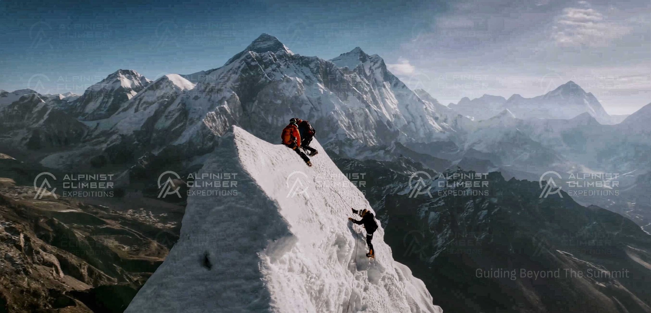
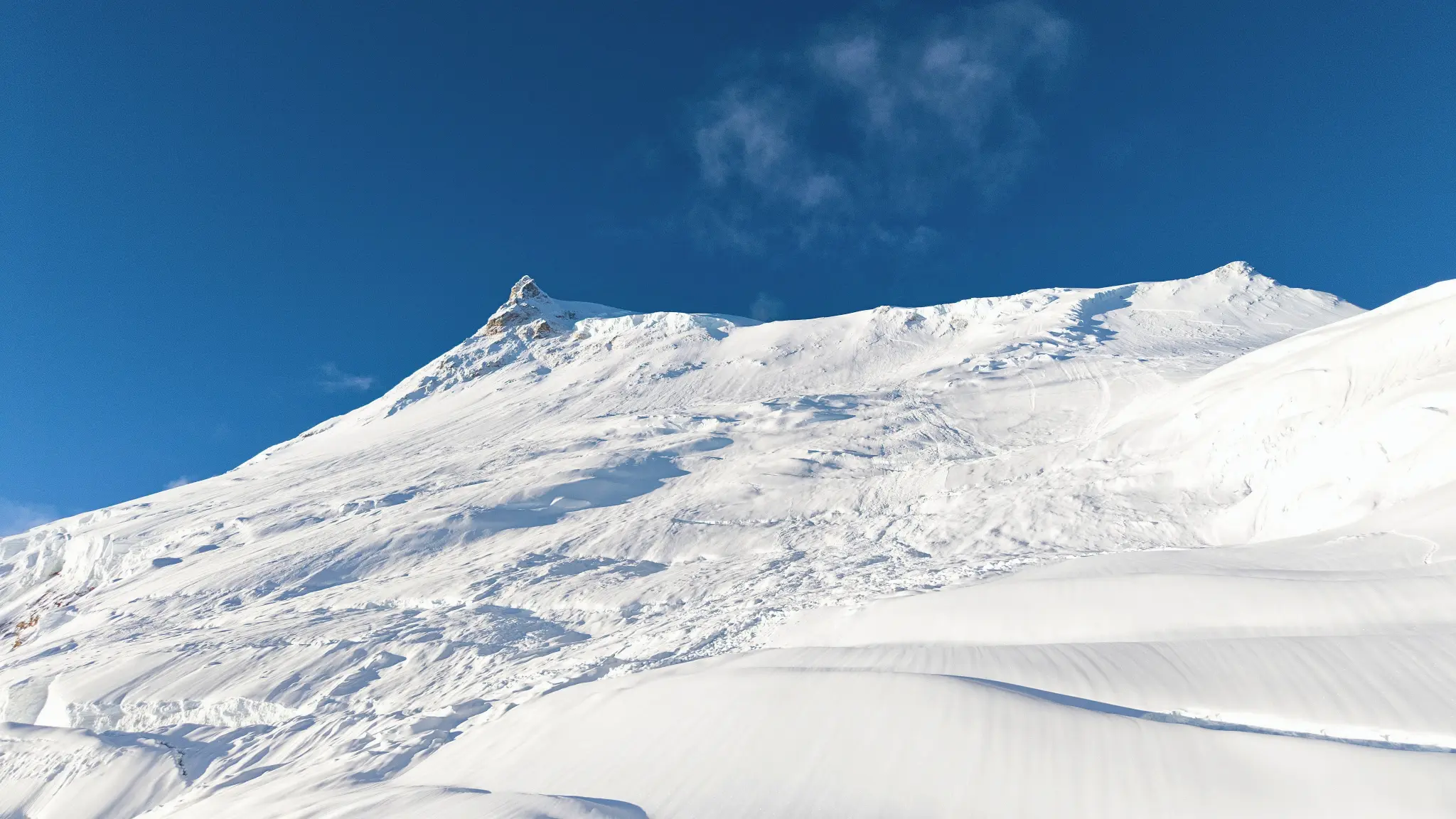
Lobuche East rises from the lateral moraine of the Khumbu Glacier in the upper Khumbu Valley — a position that places it at the heart of the most celebrated trekking and climbing landscape in Nepal. At 6,119m, it is the higher of the two Lobuche summits: Lobuche West stands at 6,145m but is a significantly more technical and rarely-attempted objective. Lobuche East is the peak that the climbing world knows, respects, and returns to.


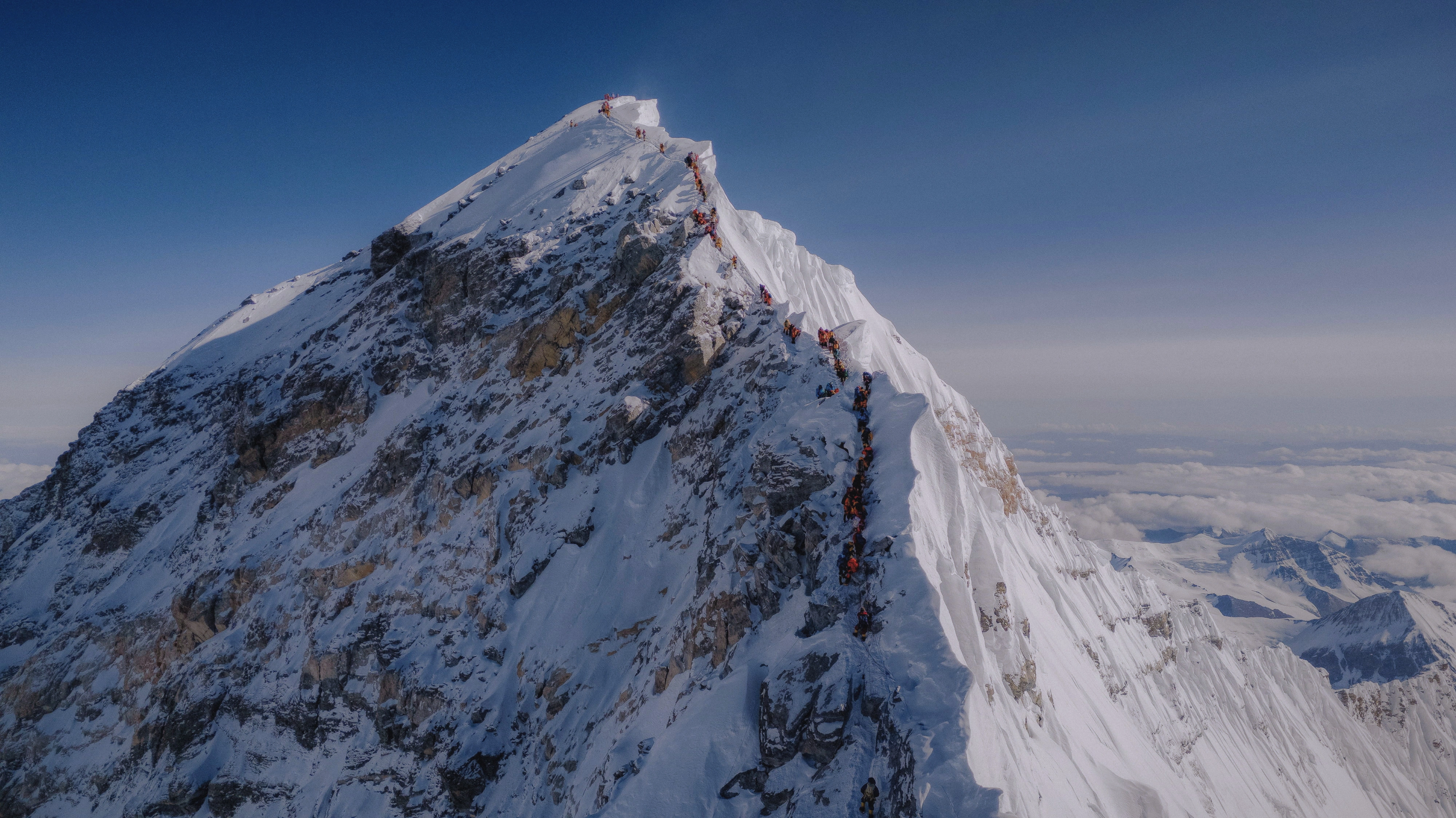
The standard approach to Lobuche East follows the South Ridge from a Base Camp near the village of Lobuche (4,940m). From the base, the route climbs through rocky moraine terrain before transitioning to snow and ice on the upper ridge. A 45-degree slope section near the summit is the technical crux — steep enough to demand real crampon and ice axe technique and to challenge the fitness of even well-prepared climbers. Fixed ropes are in place on this section. The summit is a narrow, exposed point with no room to spare.


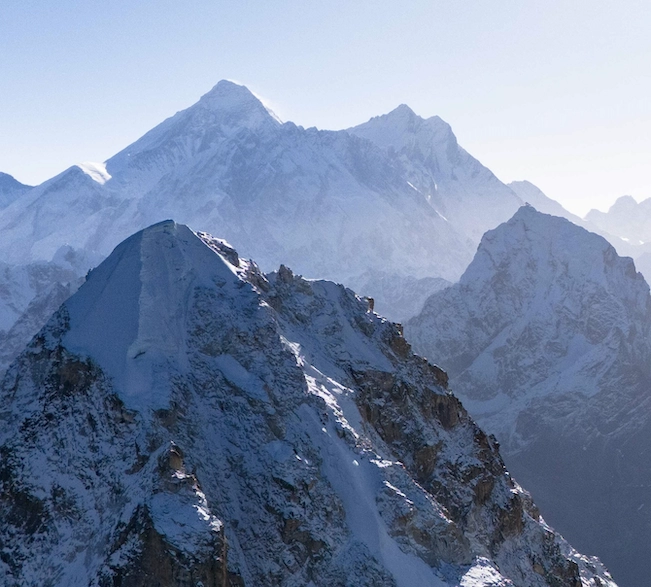
The approach through the Khumbu valley is one of the world's great trekking journeys. The trail passes through Namche Bazaar, the Tengboche Monastery, Pangboche, and Pheriche, a sequence of landmarks that every climber who has ever dreamed of the Himalaya will recognize. Everest, Lhotse, Nuptse, Ama Dablam, and Lobuche itself are in view throughout the approach, growing larger and more imposing with each day's progress.


Lobuche East is often used as a preparatory peak for more serious objectives. It is a natural progression from Mera Peak and Island Peak, and it is also frequently combined with an Everest Base Camp visit given their proximity on the same route. For climbers building toward Ama Dablam, Cholatse, or higher peaks, Lobuche East provides an excellent technical foundation.

Trip Overview

Duration
Duration
19 Days
Including travel days
Max altitude
Max Altitude
6,119m
Summit of LOBUCHE EAST EXPEDITION
Difficulty
Best Season
Spring & Autumn
Ideal climbing window
Group size
Group Size
Max 2 - 4
Small team support
Region
Region
Khumbu Region
Expedition location
Overview
Overview
Expedition
High-altitude guided climb
Trip overview background

Trip Description

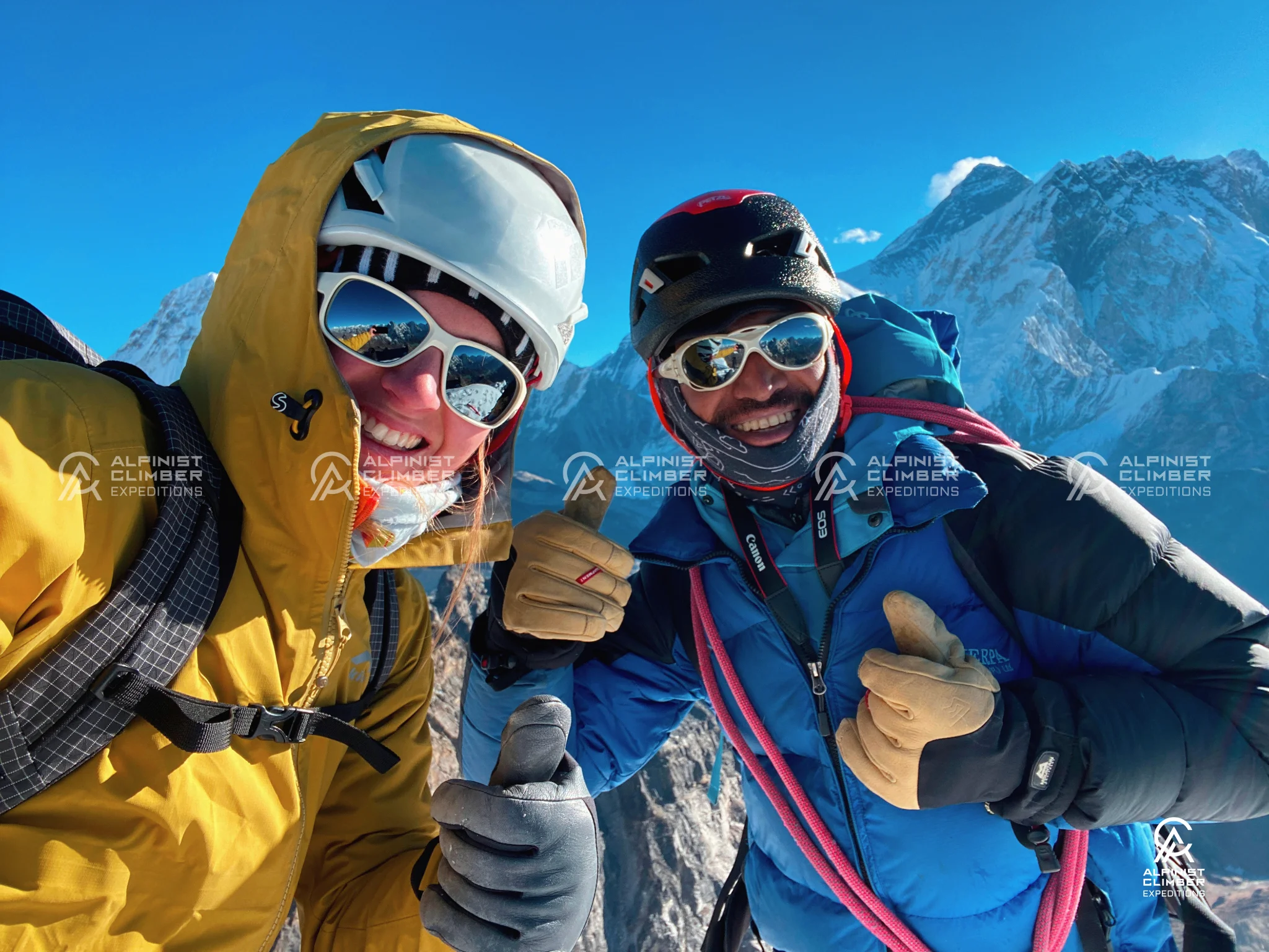
Lobuche East (6,119m) is one of the most technically rewarding 6,000-metre climbs in Nepal's Khumbu region — a peak that sits close to the Everest Base Camp trail, yet demands a level of mountaineering commitment that goes well beyond the standard trekking experience. Positioned in the heart of the Mahalangur Himalayan Range, Lobuche East stands above the lateral moraine of the Khumbu Glacier and commands views of Everest, Lhotse, Makalu, Cho Oyu, Nuptse, Ama Dablam, Cholatse, and Pumori — one of the most comprehensive panoramas available on any 6,000-metre summit in Nepal.


Rated Alpine Grade PD+ (just above moderate), Lobuche East is a step up in technical demand from peaks like Mera Peak and Island Peak. The South Ridge route involves sustained steep terrain with a defining 45-degree slope section near the summit that requires confident crampon technique, ice axe use, and fixed rope ascending. The summit day is long — typically ten to thirteen hours — and the final section is genuinely challenging even for fit, well-prepared climbers. This is a peak that rewards those who take their preparation seriously.


The approach follows the classic Khumbu trekking route from Lukla through Namche Bazaar, Tengboche, and Pheriche before reaching the Lobuche area — one of the most celebrated trekking corridors in the world, with expanding views of Everest and the surrounding Himalayan giants at every stage. An acclimatization hike to Nangkartshang (5,083m) from Pheriche and a dedicated technical training day at Lobuche Base Camp are both built into the itinerary before the summit push begins.


At Alpinist Climber Expeditions, every Lobuche East expedition is guided by IFMGA-certified professionals with real knowledge of this technical route. Our 1:3 guide-to-member ratio, combined with a 1:1 Climbing Sherpa ratio on summit day, reflects our belief that this kind of serious technical climbing deserves the highest level of personal support available.


Expedition Highlights

  • A serious technical 6,000m objective — more demanding than Island Peak or Mera Peak

  • The 45-degree final slope — the defining technical challenge of the South Ridge route

  • Positioned directly on the Everest Base Camp corridor — option to combine with an EBC visit

  • Summit panorama of Everest, Lhotse, Makalu, Cho Oyu, Nuptse, Ama Dablam, Cholatse, and Pumori

  • Acclimatization hike to Nangkartshang (5,083m) with some of the finest high-altitude views in the region

  • Technical training session at Lobuche Base Camp before the summit push

  • Option for 1:1 private summit experience alongside IFMGA Guide Mr. Prakash Sherpa

Detailed Itinerary

Airport transfer and hotel check-in on arrival. The evening opens with a welcome dinner — a warm introduction to the team and the guide before the Khumbu journey begins.

Hotel
Location icon 1,330m

Full expedition briefing in the morning covering the route, safety protocols, equipment checks, and permit formalities. Duffel bag and cap distributed at the team meeting. The afternoon is spent visiting UNESCO World Heritage Sites in Kathmandu — temples, stupas, and Newari architectural landmarks.


  Duration     Distance     Elevation  
Full Day 5–10 km (city tour) Minimal
Hotel
Location icon 1,330m

Early mountain flight to Lukla with sweeping aerial views of the Himalayan range. On landing, the trek begins along the Dudh Koshi River valley through pine and rhododendron forest to Phakding — a gentle and beautiful opening day in the Khumbu.


  Duration     Distance     Elevation  
35 min flight + 3–4 hrs trek Flight: ~138 km, Trek: ~8 km −250 m (2,860 m → 2,610 m)
Lodge
Location icon 2,610m

The trail crosses suspension bridges over the Dudh Koshi before entering the Sagarmatha National Park checkpoint at Monjo. A long, steep ascent through forest leads to Namche Bazaar — the first clear views of Everest, Lhotse, and Ama Dablam appearing on the final ridge. Namche is the Sherpa capital of the Khumbu — well supplied, lively, and the last significant settlement before the upper valley.


  Duration     Distance     Elevation  
6–7 hrs ~10 km +830 m (2,610 m → 3,440 m)
Lodge
Location icon 3,440m

A structured acclimatization hike to the Everest View Hotel ridge at approximately 3,800m. The views of Everest, Lhotse, Nuptse, and Ama Dablam from this ridge are exceptional. Climbing high and sleeping low at this stage significantly improves the body's adaptation to altitude before the higher terrain ahead.


  Duration     Distance     Elevation  
3–5 hrs (optional hike) 5–8 km +350–450 m (optional hike, return to Namche)
Lodge
Location icon 3,440m

The trail descends through rhododendron forest before climbing to the ridge at the Tengboche Monastery — one of the most significant Buddhist monasteries in Nepal — with panoramic views of Ama Dablam, Everest, and the surrounding massif. After visiting the monastery, the trail descends to Diboche for the night.


  Duration     Distance     Elevation  
5–6 hrs ~10 km +420 m (includes descent and ascent to 3,860m)
Lodge
Location icon 3,860m

The trail climbs above the valley floor through Pangboche — a traditional Sherpa village with one of the oldest monasteries in the Khumbu. From Pangboche, Ama Dablam and Lobuche East appear clearly ahead. The trail continues through open terrain to Pheriche, one of the last settled areas before the upper glacial valley begins.


  Duration     Distance     Elevation  
5–6 hrs ~12 km +511 m (3,860 m → 4,371 m)
Lodge
Location icon 4,371m

An acclimatization hike to the top of Nangkartshang (5,083m) — a two to three hour ascent providing a broad Himalayan panorama and an important physiological step at altitude. The team descends to Pheriche for the night, having gained critical acclimatization at 5,083m.


  Duration     Distance     Elevation  
4–6 hrs ~6 km +712 m (4,371 m → 5,083 m, return to Pheriche)
Hotel
Location icon 5,083m

The trail climbs past Duglha and its memorial stupa — erected in memory of those who have lost their lives on Everest and the surrounding peaks — before continuing to Lobuche village at 4,940m. The view of the Khumbu Glacier's lateral moraine and the peaks above is dramatic and imposing. Lobuche is the last settlement before the route to Everest Base Camp continues, and the staging point for the Lobuche Peak climb.


  Duration     Distance     Elevation  
5–6 hrs ~8 km +569 m (4,371 m → 4,940 m)
Lodge
Location icon 4,940m

A rest and acclimatization day at 4,940m. The body is making significant physiological adjustments at this altitude — rest, hydration, and regular eating are the priorities. A short exploratory walk above the village helps the body adapt without placing excessive demand on it.


  Duration     Distance     Elevation  
3–5 hrs (optional hike) 3–5 km +300–500 m (optional acclimatization hike)
Lodge
Location icon 4,940m

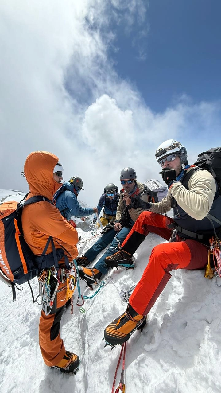
A hands-on technical training session at Lobuche Base Camp covering all skills required for the South Ridge and the 45-degree summit slope: crampon technique on snow and ice, ice axe use and self-arrest, fixed rope technique with jumar, rappelling, and movement on exposed terrain. The 45-degree final section of this route is steeper than most other peaks at this grade — this training session directly addresses that specific challenge.


  Duration     Distance     Elevation  
4–6 hrs 2–4 km +100–200 m (training around Base Camp)
Camp
Location icon 4,940m

From Lobuche village, the team moves up to High Camp at 5,300m — approximately two to three hours of climbing through rocky moraine and the lower South Ridge. The camp is positioned with clear views of the summit route above and the Khumbu Valley below. Equipment is checked, a hot meal is prepared, and the team rests in preparation for the long summit day.


  Duration     Distance     Elevation  
4–6 hrs ~4 km +360 m (4,940 m → 5,300 m)
Camp
Location icon 5,300m

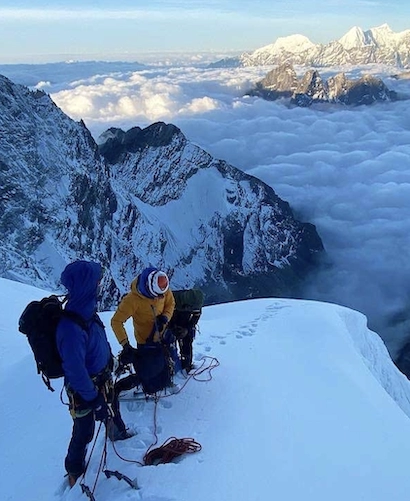
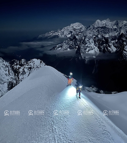
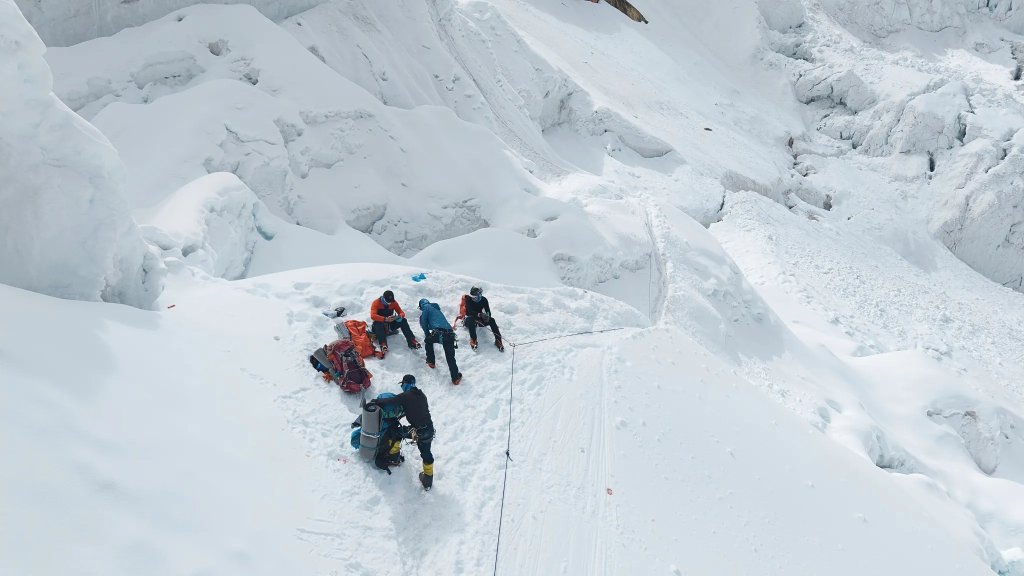
Summit day begins at 3:00am. Moving by headlamp through the darkness, the team ascends the South Ridge in progressively steeper terrain. The fixed rope sections begin on the upper ridge as the angle increases significantly. The crux — a steep 45-degree slope — demands confident crampon and ice axe technique and is the point at which proper training and fitness make the most difference.


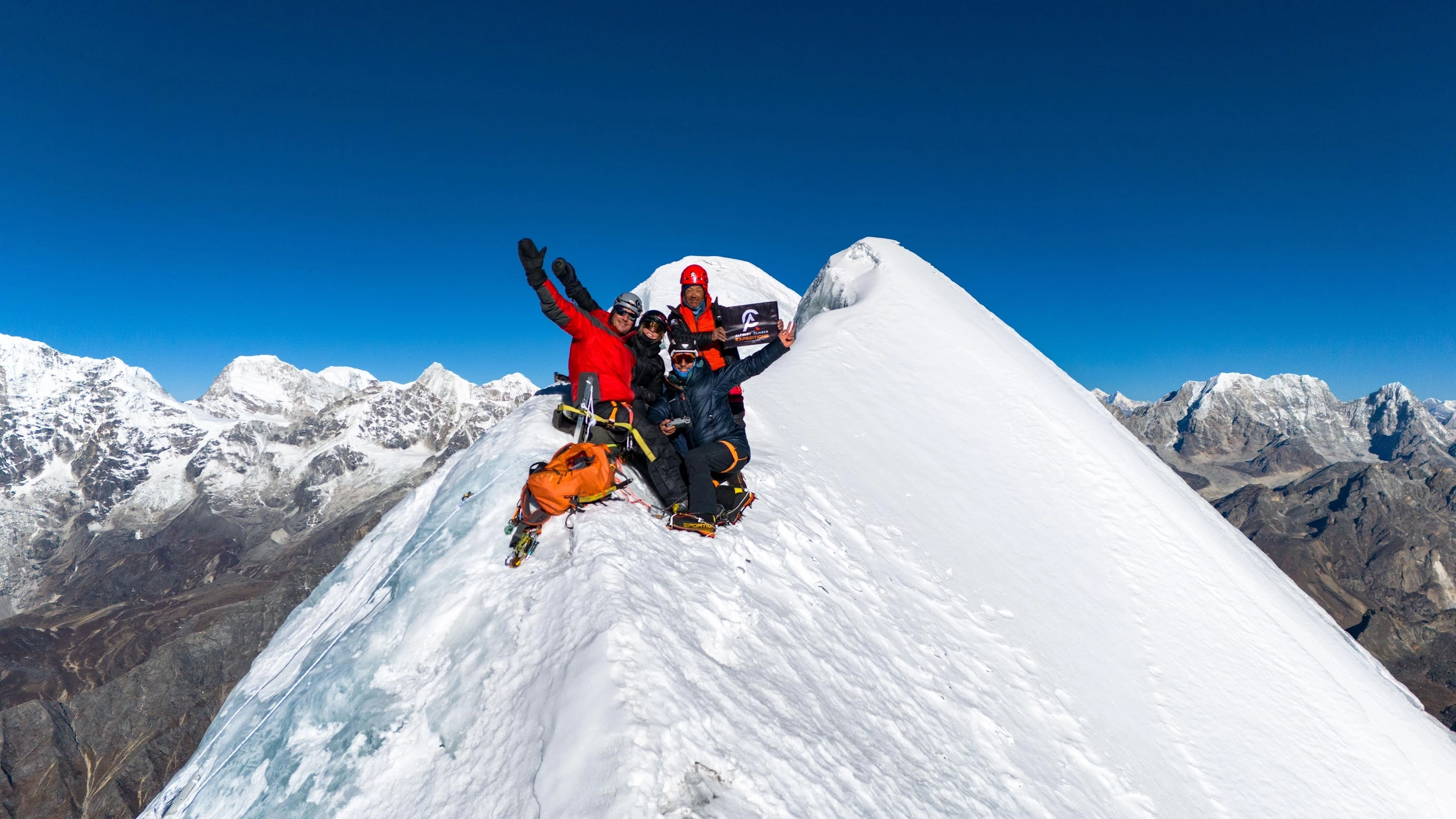
The summit of Lobuche East is a narrow, exposed point with immediate views in every direction: Everest (8,849m), Lhotse (8,516m), Makalu (8,485m), Cho Oyu (8,188m), Nuptse (7,855m), Ama Dablam (6,812m), Cholatse (6,440m), and Pumori (7,161m) all visible from the top. The descent uses fixed ropes on the technical sections and returns to High Camp for a rest before the lower mountain descent.


  Duration     Distance     Elevation  
10–12 hrs ~8 km +819 m (5,300 m → 6,119 m, followed by descent to High Camp or Base Camp)
Camp
Location icon 6,119m

A reserve day built into every Lobuche East expedition. If poor weather prevented a safe summit on Day 13, the team attempts again today. If the summit was reached, this is a rest and recovery day before the full descent begins.


  Duration     Distance     Elevation  
Full Day Varies Varies
Camp
Location icon 5,300m

Full descent from High Camp to Pheriche — dropping over 900m from the high point. The Khumbu Valley opens up below as the team descends, and the views of the surrounding peaks feel different now — seen from below, with the summit already behind you.


  Duration     Distance     Elevation  
5–6 hrs ~10 km −929 m (5,300 m → 4,371 m)
Lodge
Location icon 4,371m

The return trek through Pangboche and Diboche. Familiar terrain revisited with the different perspective of a completed expedition. The rhododendron forest below Pangboche is welcome after days of glaciated high terrain.


  Duration     Distance     Elevation  
3–4 hrs ~7 km −511 m (4,371 m → 3,860 m)
Lodge
Location icon 3,860m

Continuing the descent through Tengboche and the rhododendron forest back to Namche Bazaar. The trail is well-known by now and the pace is comfortable — a pleasant final day in the mountains.


  Duration     Distance     Elevation  
4–5 hrs ~11 km −420 m (3,860 m → 3,440 m)
Lodge
Location icon 3,440m

The final trek follows the Dudh Koshi valley to Lukla for an early morning flight to Kathmandu. The farewell dinner in the evening marks the successful conclusion of a demanding and memorable expedition.


  Duration     Distance     Elevation  
6–7 hrs trek + 35 min flight Trek: ~18 km, Flight: ~138 km −2,110 m (3,440 m → 2,860 m → 1,330 m)
Hotel
Location icon 1,330m

Private airport transfer for your outbound flight. The Lobuche East Expedition concludes.

Why ACE?

Alpinist Climber Expeditions was built around a principle that has guided every climb we have organized — that the quality of the experience on a mountain is directly tied to the quality and depth of experience of the people leading it. What sets Alpinist Climber Expeditions apart is something that cannot be manufactured or replicated — it comes from decades spent on these mountains, from the culture that formed us, and from a deeply held belief that every climb deserves to be done properly.


We are a team of professional Sherpas. Not guides who have visited the Himalaya — guides who grew up here, who know these peaks in every season, and who have spent careers developing the technical skills and mountain judgment required to lead expeditions safely and successfully.


Our team holds IFMGA / UIAGM certification — the highest international standard in professional mountain guiding — alongside Advanced Mountaineering, Wilderness First Aid, Helicopter Rescue, and High-Altitude Rescue qualifications. Our lead guide has summited multiple 8,000-metre peaks, including ascents without supplemental oxygen. This is not a credential on paper. It is a lived capability that directly protects every climber who climbs with us.


We offer two expedition structures: a standard option with small-group expedition, and a premium option with 1:1 guide-to-client ratio. Both are built on the same standard of safety, preparation, and professionalism.The standard option maintains a minimum 1:3 guide-to-client ratio with a dedicated IFMGA lead guide and Sherpa support on every climb. Our premium 1:1 private option places you on the mountain directly alongside IFMGA Guide Mr. Prakash Sherpa.


We do not run high-volume operations as our clients are not bookings. They are climbers who have chosen to trust us with something significant and we take that trust seriously on every single expedition. We do not cut corners on acclimatization, staffing ratios, or safety equipment. We organize expeditions the way they should be organized — with patience, precision, and the kind of local knowledge that only comes from growing up in these mountains and spending a career on them.


The Team

Expedition Guides

Every guide on our team has been selected for their technical ability, high-altitude experience, and personal commitment to the safety and success of every climber they lead. All guides carry extensive experience at altitude and hold a proven record of safety, summit success, and strong compatibility with international clients.

The number of guides assigned to each expedition is determined by the size of the climbing team. Our standard guide-to-member ratio is 1:3, ensuring that every climber receives consistent, attentive support throughout the approach, the acclimatization phase, and the technical climb itself.


Climbing Sherpa Support

A dedicated team of experienced Climbing Sherpas supports every expedition with load carrying on the mountain, route preparation, and high camp management. On summit day, we maintain a 1:1 Sherpa-to-climber ratio — a commitment that reflects our belief that the summit push is where support matters most.

Our Climbing Sherpas are not simply load carriers. They are experienced high-altitude professionals who understand the mountain, the route, and the demands of summit day. Their presence alongside every climber on the final push is a core part of how we manage safety and success on the upper mountain.


What to Expect from Our Team

  • Technically qualified, IFMGA-certified lead guidance on every expedition
  • A standard guide-to-member ratio of 1:3 — adjusted based on team size and peak requirements
  • 1:1 Climbing Sherpa support on summit day for every team member
  • Guides who are experienced, companionable, and genuinely invested in your success
  • Full medical kit, satellite communication, and emergency response capability carried by the team at all times
  • A premium 1:1 private option available — summit alongside Mr. Prakash Sherpa directly



Trip Notes

Quick facts: 6,119m | Khumbu region, adjoining the Everest Base Camp trail | Best season: spring & autumn | Graded PD+ – moderately technical


Overview


Lobuche East is one of the most popular peaks in the Khumbu, often paired with the Everest Base Camp trek since the route overlaps almost entirely. It’s frequently used by climbers preparing for bigger objectives like Everest or Ama Dablam, offering a genuine taste of technical climbing without the full commitment of a major expedition.


Route & Character


After following the classic EBC trail through Namche, Tengboche, and Dingboche, the route branches to Lobuche base camp (around 4,950m) and a high camp near 5,400m. Summit day climbs a steepening snow-and-ice slope reaching 45–50° near the top, protected by fixed ropes, before a narrow final ridge leads to the summit — noticeably more technical than nearby Island Peak.


Key Risks & Why They Matter


Steep fixed-rope sections near the summit: The final 45–50° ice and snow slope requires confident use of crampons, ice axe, and jumar technique on the fixed line; climbers without this experience can tire quickly or struggle with the exposure, which is why basic rope training is built into the itinerary.

Crevasses and glacier travel: Parts of the approach and summit route cross glaciated terrain where crevasses can be masked by snow, particularly earlier or later in the climbing season — roped travel and following the guide’s exact line are essential precautions.

Altitude sickness: Base and high camp both sit well above 4,900m, and the summit climbs over 6,000m, so the standard risks of headache, fatigue, and more serious altitude illness apply; the itinerary’s acclimatisation days exist specifically to reduce this risk before the technical climbing begins.

Long, physically taxing summit day: The round trip from high camp can take 8–10 hours over difficult terrain, so climbers who haven’t trained adequately for sustained effort at altitude are more likely to struggle on the descent, when fatigue-related mistakes are most common.


Note: All ACE expeditions are subject to the unpredictable conditions of the Himalaya. Weather at altitude can change within hours, and your safety always takes priority over the fixed schedule — if trails become unsafe, snow conditions deteriorate, or flights to remote airstrips are delayed by poor visibility or wind, we will adjust the itinerary, reroute, or arrange alternative transport as needed. These changes are made solely to protect you, and our guides will ensure the spirit and quality of your expedition is never compromised. ACE is not liable for costs arising from missed international flights due to such delays, so we strongly recommend comprehensive travel insurance covering trip interruption, flight disruption, and emergency evacuation before you travel.

Equipment List

All personal clothing and technical climbing gear should be sourced, properly fitted, and tested before departure. The 45-degree summit section and technical descent demand well-fitted, well-tested boots and crampons above all else.


Headwear

  • Sun hat or lightweight cap

  • Warm fleece or wool hat

  • UV-protective sunglasses (category 4 recommended)

  • Buff or thin balaclava / face mask


Handwear

  • Lightweight fleece or wool inner gloves

  • Gore-Tex outer mitten gloves


Clothing

  • Gore-Tex waterproof jacket

  • Gore-Tex waterproof trousers

  • Hiking trousers

  • Fleece jacket or warm mid-layer

  • Moisture-wicking base layer top

  • Thermal base layer trousers

  • Down jacket with hood


Footwear

  • Well broken-in trekking boots

  • Double-insulated alpine climbing boots

  • Crampons — 12-point, compatible with alpine boots

  • Snow gaiters

  • Trekking socks (4–5 pairs)

  • Camp sandals


Technical Climbing Equipment

  • Ice axe

  • Sit harness

  • Locking carabiners and belay device

  • Ascender (jumar)

  • Climbing helmet


Camping & Trekking Essentials

  • Sleeping bag rated to at least -20°C

  • 45-litre rucksack with rain cover

  • Large duffel bag with padlock

  • Headlamp with spare batteries

  • 1-litre water bottles (x2)

  • Thermos flask

  • Trekking poles

  • Personal first aid kit


Hygiene & Sun Protection

  • Waterproof wash bag

  • Medium towel

  • Toiletries — soap, toothbrush, toothpaste

  • Sunscreen SPF 50+ including lip balm

  • Hand sanitizer and handwash

  • Toilet paper and wet wipes

Upcoming Departure Dates

Background
October 15 - 3 November, 2026
Standard Package
Includes background

Includes & Excludes

Included
  • Lobuche East climbing royalty fees
  • Summit route fixing fees
  • Sagarmatha National Park entry permit
  • TIMS card
  • Garbage disposal and environmental fees
  • All government taxes, VAT, and official service charges
  • IFMGA-certified lead mountain guide — full wages and insurance
  • Experienced Climbing Sherpa support — wages, summit bonus, insurance, equipment
  • Porters at 1:1 member-to-porter ratio
  • All staff accommodation, wages, equipment, insurance, and medical provisions
  • 4-star hotel in Kathmandu with daily breakfast, welcome dinner, and farewell dinner (2 nights)
  • Full-board lodge accommodation throughout the trekking approach and descent
  • Single private dome tent at Base Camp with hot shower
  • High-altitude camp food for all members and guides during the climbing phase
  • Round-trip Kathmandu to Lukla mountain flight
  • Private vehicle airport transfers in Kathmandu
  • High Camp tents shared between members and guides
  • Medical kit and satellite phone throughout the expedition
  • Alpinist Climber Expeditions branded duffel bag, cap, and T-shirt per member
Not Included
  • × International airfare
  • × Nepal entry visa fees
  • × Lunches and dinners in Kathmandu outside of the included welcome and farewell dinners
  • × Alcoholic and soft beverages
  • × Internet and WiFi access
  • × Personal clothing and climbing equipment
  • × Personal first aid kit
  • × Drone permit fees (if applicable)
  • × Personal travel, medical, and emergency rescue insurance
  • × Gratuities for guides, Climbing Sherpa, and porters

1:1 Experience with Your Lead Guide

Lead Guide

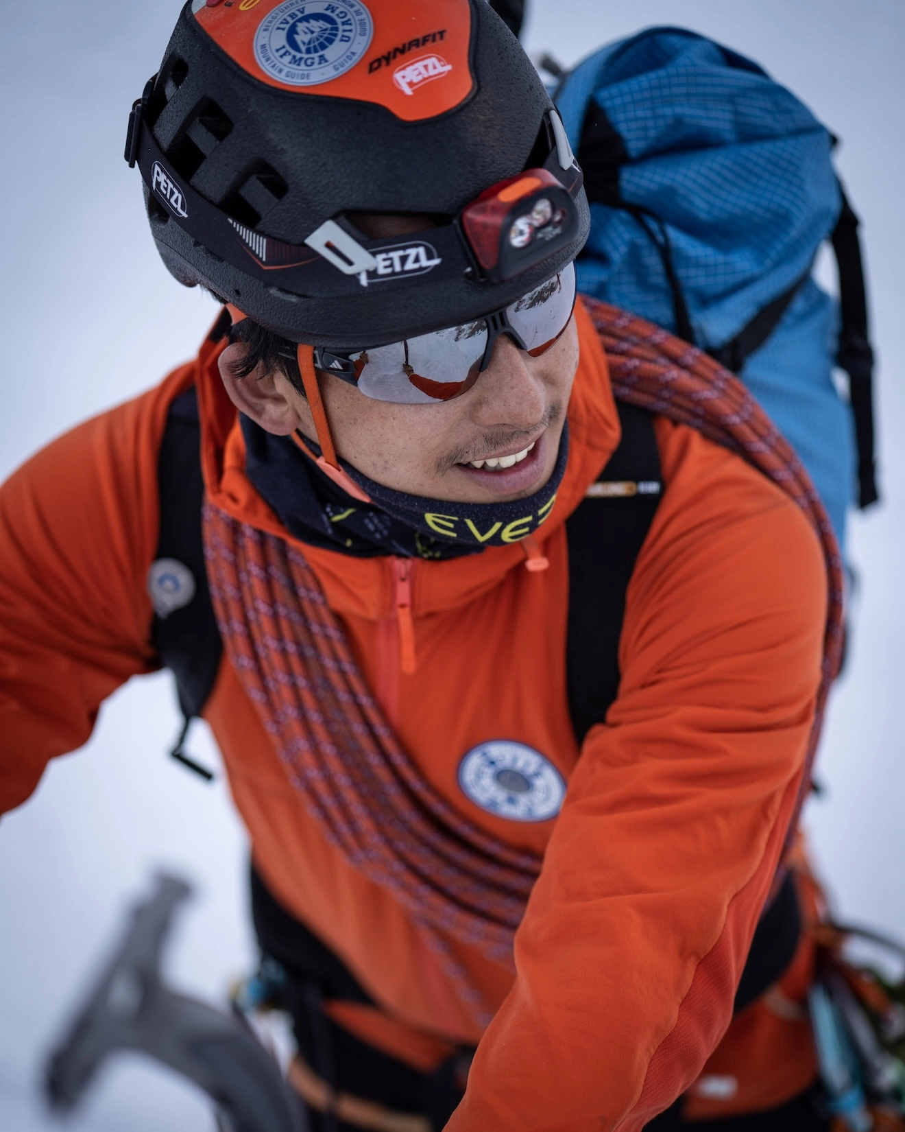
Prakash Sherpa

Founder & IFMGA Mountain Guide

Our lead guide Prakash Sherpa oversees expedition strategy, pacing, and on-mountain decision-making so your climb is supported from preparation through summit push.

You get direct access to experienced guidance, real-time judgement in changing conditions, and a more focused expedition experience built around safety, clarity, and strong leadership.

Certification
IFMGA / UIAGM / IVBV

Package Options

Standard

An expertly guided group expedition offering an affordable, memorable way to attempt stunning peaks alongside fellow adventurers.

Starting From
€ 4,500
per person
  • → Group Expedition
  • → 1:1 Climbing Sherpa Guide
  • → Well-Planned Itinerary
  • → Fixed Group Schedule
  • → Minimum 3 Participants
  • → Professionally Guided
  • → Excellent Value
  • → Best for Budget-conscious Adventurers
Book Standard
Premium

A fully personalized, private expedition with 1:1 IFMGA guiding — designed around your goals, pace, and schedule for an exclusive mountain experience.

Starting From
€ 7,500
per person
  • → Private Expedition
  • → 1:1 Private IFMGA Mountain Guide
  • → Fully Tailored Itinerary
  • → Flexible Scheduling
  • → Premium Value
  • → Heli flight IN / OUT
  • → Premium, Personalized Experience
  • → Best for Adventurers Seeking a Personalized, Exclusive Experience
Book Premium

FAQs

Lobuche East is rated Alpine Grade PD+ — slightly above moderate and a genuine step up in technical demand from Mera Peak or Island Peak. The South Ridge involves sustained steep terrain with a defining 45-degree slope section near the summit that demands confident crampon and ice axe technique on fixed ropes. The summit day runs ten to thirteen hours. Good cardiovascular fitness, prior altitude experience, and commitment to the technical training session at Base Camp are all essential.

Summit
Elevation
N
ACE
Guiding Beyond The Summit
Client Stories

From the Summit

Daniel Puttkemery
Daniel Puttkemery
Kyajo Ri Expedition
5/5 Rating

Prakash and his team are a couple of notches above totally professional! Everyone in the Alpinist Climber Expeditions family goes out of their way to provide the best possible experience. Superb core values and safety principles. I had the good fortune of climbing Kyajo Ri with Alpinist Climber Expeditions and I can not say enough positive things. All gear is first rate, exceptional food and beautiful base camp in particular. I have climbed with a few different outfits in the past, now I need look no further, whenever I’m in the Himalaya. I will only climb with Alpinist Climber Expeditions. It sounds cliche but they very much made me feel like family. Top marks to a top outfit!

Verified Client Story
Luca Smargiasso
Luca Smargiasso
Ama Dablam 6,812m
5/5 Rating

I have been climbing for 15 years, over 4 continents. This was my 3rd trip to Nepal. And this was undoubtedly one of the Best-organised expeditions have participated in. Cannot thank Prakash and his Team enough. The attention to detail both in terms of equipment, climbing conditions, and accommodation/food was outstanding. And despite having limited exposure to high altitude alpine style climbing, always felt comfortable in the climbs and approach. I put this down to Prakash and his experience as well as the unique approach to team size. The small team ensures that a more flexible and sensible approach is applied to all technical aspects of the climb-including importantly how you physically feel and acclimatise. I needed to spend 5 days at Namche due to a sinus infection, and never felt that this jeopardised the rest of my climb. The same goes for weather delays. I eventually overran the climbing calendar by 5 days without a single complaint from Prakash and his team. You feel like a climbing partner rather than a paying client. My only regret is that Alpinist Climber Expeditions does not have a more international footprint as would have liked to climb with Prakash and his Team internationally as well as in Nepal.

Verified Client Story
Andy Tronsberg
Andy Tronsberg
Kyajo Ri & Island Peak
5/5 Rating
“Perfect organised and guided expedition I ever took part! We climbed island peak and kyajo ri alpine style! Safety is always first, all team members are super kind and professional and also laughing comes not to short! Thanks for this unforgettable experience!! Andreas.

Verified Client Story
Rogier Keulen
Rogier Keulen
Mt. Kyajo Ri & Mt. Cholatse
5/5 Rating
“With IFMGA guide Prakash we climbed Kyajo Ri and Cholatse. Our expedition couldn't have been any better! We had a lot of fun and summiting stunning Cholatse is the most intense thing I've done. We did it alpine style, so without fixed ropes from bottom to top. Safety was a priority - Prakash summited Everest 3 times and is always in control - and we had a very strong drive to reach the summit - which we did!”
Verified Client Story
Ludwig Beer
Ludwig Beer
Baruntse 7,162m + Mera Peak 6,476m
5/5 Rating
“Vielen Dank lieber Pemba für die tolle Zeit. Deine Professionalität und stete Fürsorge waren allgegenwärtig. Die gute Planung, der Ablauf und die gute Stimmung waren großartig. Mit Dir und Deinem Team fühlt man sich wohl am Berg. Dadurch ist der Erfolg gesichert!”
Verified Client Story
Christiaan Jong
Christiaan Jong
Mt. Kyajo Ri & Mt. Cholatse
5/5 Rating
“The Kyajo Ri and Cholatse climbing expedition I did with Alpinist Climber Expeditions was great! Our guide Prakash is a very strong and professional guide.
We share our values regarding alpine-style climbing and succeeded on both summits in a very safe manner.
Apart from the climbing, the whole team was super supportive, helpful, and friendly. Nothing was too much to ask.
For future expeditions or other endeavors in the mountains, I would definitely reach out to Alpinist Climber Expeditions again.”
Verified Client Story
Expedition Journal

Dispatches from the Mountains

All Articles
Chhuama IV First Ascent Report 2026
Expedition Report

Chhuama IV First Ascent Report 2026

  In July 2026, a team from Alpinist Climber Expeditions climbed Chhuama IV, a 6,179-metre peak in the Mustang region of Nepal that no one had ever summited before. On 16 July, IFMGA Mountain Guide and Dynafit athlete Prakash Sherpa reached the top at 3:21 PM Nepal time, after teammate Barnaby Francis turned back roughly 250 metres from the summit because of dangerous rockfall. Six earlier permit teams had tried and failed to climb Chhuama IV. This was the seventh attempt, and it succeeded — making it the first recorded ascent of the mountain. This is the story of that expedition: how the team got to the mountain, what the route was actually like, and what happened during the final push to the summit.   About Alpinist Climber Expeditions Alpinist Climber Expeditions is a Nepal-based expedition company that has been running alpine-style expeditions in the Himalayan ranges of Nepal since 2021. The Chhuama IV climb fits the kind of objective the company tends to take on: a lesser-known peak, a small team, and a route that hadn't been fully worked out by anyone before them. Alpine-style climbing generally means moving with a small team and minimal fixed infrastructure on the mountain, relying on judgment and route-finding rather than large-scale siege tactics — and that approach mattered on Chhuama IV, where conditions changed quickly and decisions had to be made on the spot.   The Peak and Why This Expedition  Was Different Chhuama IV sits in the Mustang region of Nepal and stands 6,179 metres high. Before this expedition, six other permit teams had attempted the mountain. None of them reached the top. That history says something about the peak — this wasn't a case of nobody having tried. Climbers had gone up before, assessed the conditions, and turned back. Alpinist Climber Expeditions' team was the seventh group to hold a permit for Chhuama IV. Reaching the summit meant succeeding where six previous attempts hadn't, on a mountain with no established route and no prior summit to reference for conditions, timing, or line of ascent.   Preparing for the Expedition and the Approach  to Base Camp The trip began on 9 July 2026 with a drive from Kathmandu to Pokhara, followed the next day by the long drive from Pokhara to Jomsom. On 11 July, the team continued by road from Jomsom to Lo Manthang, the historic walled town in Upper Mustang. The team spent 12 July acclimatizing in Lo Manthang before moving on. On 13 July they drove from Lo Manthang to Nymdo, and on 14 July they trekked from Nymdo to Base Camp. The following day, 15 July, they moved up from Base Camp to Lower High Camp — the last stop before the summit attempt. This slower, staged approach — drive, acclimatize, drive again, then trek up in stages to Base Camp and Lower High Camp — gave the team time to adjust to altitude before the technical climbing began.   Climbing Conditions on Chhuama IV Once the team got onto the mountain itself, the terrain turned out to be the main obstacle. The route up Chhuama IV involved long stretches of loose, unstable rock, slopes that could shift underfoot, and frequent rockfall. In the upper sections, there were only limited safe options for where to actually put a route, which meant the team had to keep reassessing the terrain as they climbed rather than following a fixed line. Weather added another layer of difficulty. Conditions changed often during the expedition, and on the day chosen for the summit push, the team had only a short window of favourable weather to work with. That combination — unstable ground below and a narrow weather window above — shaped almost every decision made on summit day.   The Summit Push : 16 July 2026 The team began its summit push from Lower High Camp on 16 July 2026. From early on, the upper mountain was hazardous. Rockfall was continuous, and the loose terrain meant every section had to be evaluated as they went, not assumed safe because it had been climbed before. Barnaby Francis climbed with the team through this section but made the decision to turn back approximately 250 metres below the summit. The reason was straightforward: the rockfall and the state of the terrain above made continuing unsafe. It was a judgment call made in the moment, based on what was actually happening on the mountain rather than on how close the summit looked. From that point, IFMGA Mountain Guide Prakash Sherpa continued alone. He worked through the difficult, unstable upper section and kept going where the conditions had stopped his teammate. This wasn't a case of pushing through recklessly — it reflects the kind of terrain assessment that comes with IFMGA-level guiding experience, where the decision to continue or turn back is made section by section.   Reaching the Summit Prakash Sherpa reached the summit of Chhuama IV, at 6,179 metres, at 3:21 PM Nepal Local Time on 16 July 2026. With six previous permit teams having failed to summit the mountain, this made Alpinist Climber Expeditions' team the first to do so. The expedition is recorded by the team as the first recorded ascent of Chhuama IV — a first ascent of a Nepal peak that had resisted six prior attempts before this one succeeded. After the summit, the team descended back toward Lower High Camp on the same day.     The Team's Experience  and the Way Down The climbing team for this expedition was small: Barnaby Francis from the United Kingdom, IFMGA Mountain Guide Prakash Sherpa, and Ngima Tashi Sherpa as supporter. On a mountain with unstable rock and shifting weather, decisions had to be made quickly and by people who knew the terrain — which is part of why Barnaby Francis's decision to turn back, and Prakash Sherpa's decision to continue, both mattered as much as the summit itself. The descent and return followed a similarly staged plan to the approach. On 17 July, the team trekked roughly 2.5 hours down from Lower High Camp before driving on to Pokhara. On 18 July, they completed the trip with the drive from Pokhara back to Kathmandu.   What Made This First Ascent  Significant Chhuama IV wasn't an easy objective, and it wasn't an obscure line that simply hadn't attracted attention. Six permit teams before Alpinist Climber Expeditions had tried to climb it and hadn't succeeded, which points to real difficulty rather than a lack of interest. The loose rock, the rockfall, and the narrow weather windows on summit day were the actual obstacles that had stopped previous attempts — and they were still present for this expedition. What changed the outcome wasn't a shortcut around those conditions. Barnaby Francis's decision to turn back 250 metres from the top, made because the risk was too high, and Prakash Sherpa's decision to continue where conditions allowed it, together produced the first known summit of the mountain. Both decisions came from reading the same terrain and weather correctly.   Conclusion The Chhuama IV expedition, carried out by Alpinist Climber Expeditions in July 2026, resulted in the first recorded ascent of Chhuama IV 6,179-metre peak in Nepal's Mustang region — a mountain that had already turned back six permit teams before this one. On 16 July 2026, after Barnaby Francis turned back roughly 250 metres below the summit due to rockfall and unstable terrain, IFMGA Mountain Guide Prakash Sherpa continued and reached the top at 3:21 PM Nepal time. It wasn't a straightforward climb, and the notes from the expedition don't describe it as one. Loose rock, frequent rockfall, and a narrow weather window shaped nearly every part of the summit day. Given that history, reaching the summit of Chhuama IV for the first time is a meaningful outcome — one built on careful, terrain-by-terrain decision-making rather than a single dramatic push to the top.     #GuidingBeyondTheSummit  #Dynafit 

Aug 12, 2026 Read Article →
Stay Connected